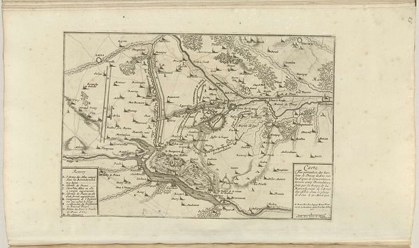
drawing, print, ink, engraving
drawing
comic strip sketch
pen illustration
pen sketch
personal sketchbook
ink
sketchwork
ancient-mediterranean
pen-ink sketch
pen work
sketchbook drawing
cityscape
storyboard and sketchbook work
engraving
initial sketch
Dimensions: height 235 mm, width 275 mm
Copyright: Rijks Museum: Open Domain
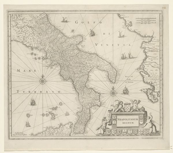
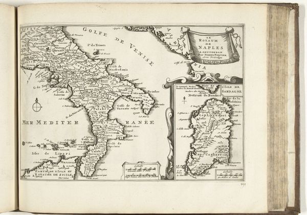
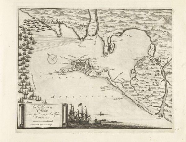
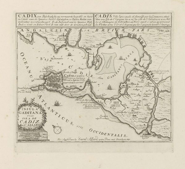
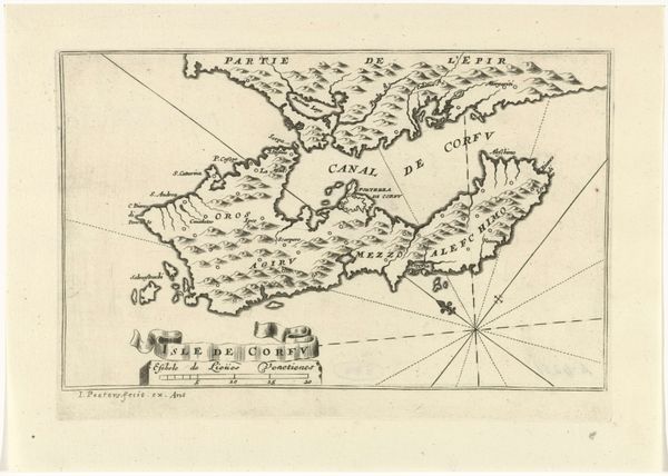
This historical map of Greece and Italy was created by Harmanus Condet sometime before 1757, using engraving as its medium. The map presents a stark contrast between the highly detailed coastlines and landmasses, and the blank expanses of sea, sparsely populated by place names and a small illustration of a vessel. Notice how the lines denoting borders and coastlines are sharp and unwavering, giving a sense of clarity and authority. Yet, there is a certain incompleteness, as the map alludes to the vastness of the unknown or uncharted. The careful script used for place names and annotations imposes a structure onto the landscape, turning geographical features into fixed points within a network of knowledge. By naming and charting, the artist lays claim to these territories, inscribing them within a symbolic order that invites the viewer to consider the relationships between space, power and representation. The map is not just a tool for navigation but also a form of cultural and political inscription.
Comments
No comments
Be the first to comment and join the conversation on the ultimate creative platform.