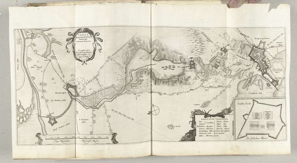
Paskaart met de nieuwe schansen in de omgeving van Zandvliet, 1627 1627 - 1629
0:00
0:00
franshogenberg
Rijksmuseum
drawing, print, ink, engraving
#
drawing
#
baroque
#
dutch-golden-age
# print
#
landscape
#
ink
#
line
#
genre-painting
#
engraving
#
realism
Dimensions: height 276 mm, width 308 mm
Copyright: Rijks Museum: Open Domain
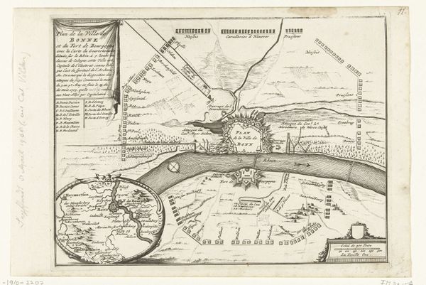
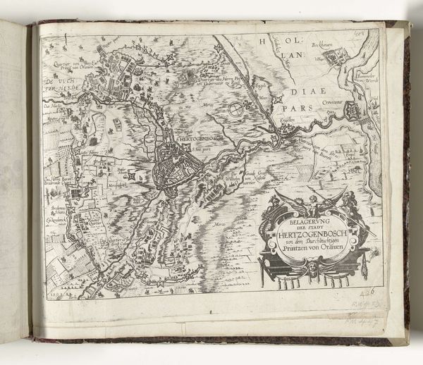
Editor: Here we have "Paskaart met de nieuwe schansen in de omgeving van Zandvliet, 1627," created sometime between 1627 and 1629. It's a detailed map rendered in ink, through drawing, engraving and printmaking and is currently at the Rijksmuseum. The density of information is striking. What kind of story do you think this map is trying to tell? Curator: This isn’t simply a geographical representation. It’s a political document, visualizing power and control. These "new schansen," or fortifications, tell of shifting geopolitical dynamics in the early 17th century, during the Eighty Years’ War. Maps weren't objective then; they served interests. Consider who commissioned this map and what message they intended to project about their dominion and defensive capabilities. How does understanding that change your reading of the landscape? Editor: It emphasizes the military strategies being depicted. Is it meant to embolden and to strike fear? Curator: Exactly! Think about the line work, the precision… These details aren’t just aesthetic. They assert authority and knowledge. Moreover, consider the cultural context: the Dutch Golden Age was also a period of intense colonialism and global trade. Cartography played a vital role in those projects, and we can look at the intersectionality between Dutch trade power and militarization, which is reflected even in the baroque artistic approach. Editor: So the "realism" tag almost feels like propaganda in disguise. Curator: Precisely. And recognizing that helps us critically examine the supposed objectivity of maps even today. I would urge people to read the inscriptions, for often they tell the larger and more elaborate stories of the location. It requires you to think deeper and begin researching for a broader historical awareness of events. Editor: That’s fascinating; I’ll definitely look at maps differently now. Curator: And that is the point!
Comments
No comments
Be the first to comment and join the conversation on the ultimate creative platform.
More like this