Possibly 1770 - 1778
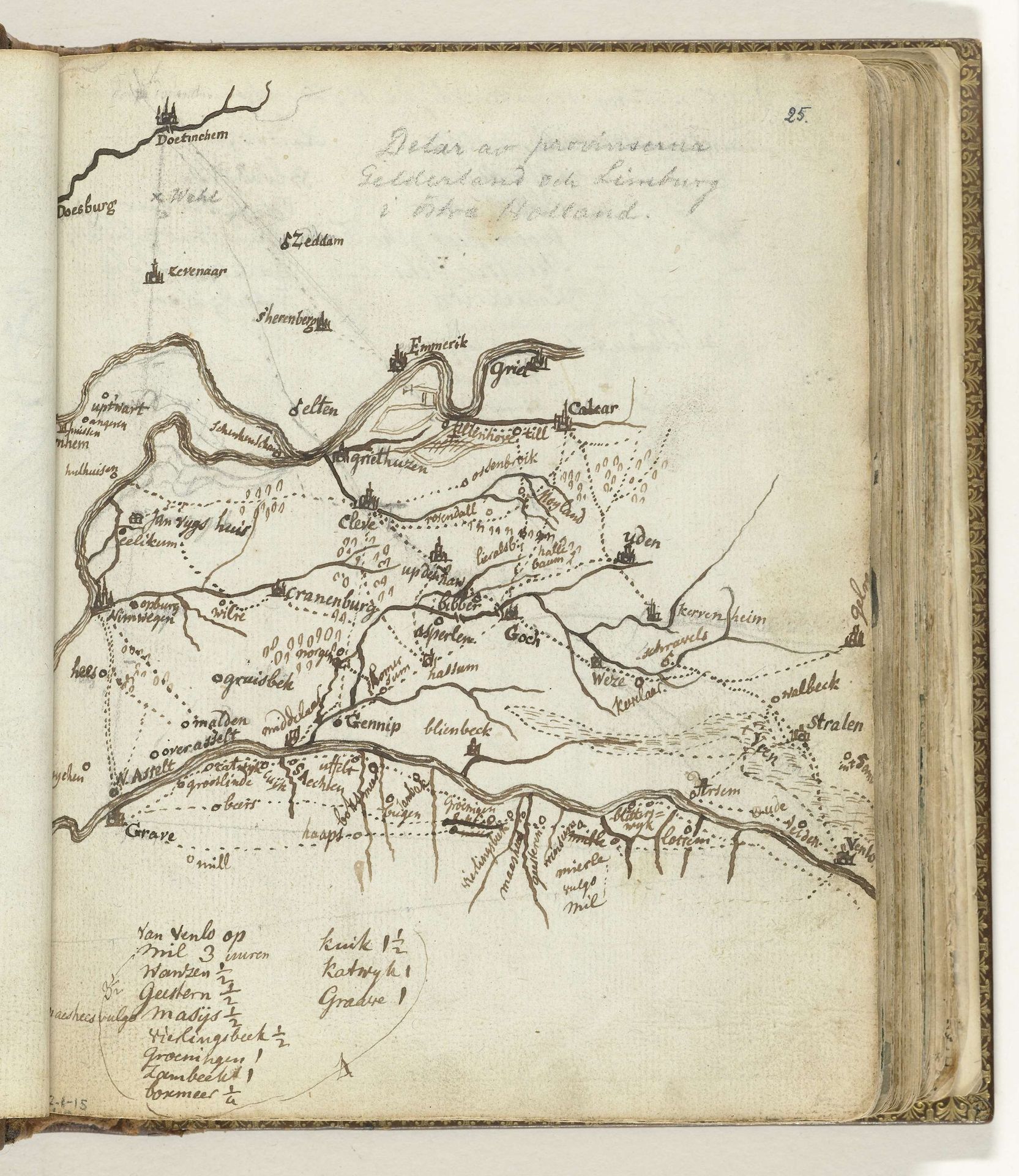
Kaart van de streek tussen Doetinchem en Venlo
Listen to curator's interpretation
Curatorial notes
Jan Brandes created this map of the region between Doetinchem and Venlo with pen and ink. The composition of the map emphasizes the waterways, using meandering lines to define rivers and streams as they cut through the landscape. The marks made by Brandes are not just descriptive, but also articulate a complex interplay between natural forms and human inscription. The lines that trace the rivers create a visual rhythm. The dots indicating towns and settlements introduce a spatial logic, reflecting a semiotic system of how space is organized and understood. The script used in the map, too, adds another layer, blending practical information with a personal, aesthetic touch. The map is not just a neutral record but a constructed representation that invites ongoing analysis and interpretation. It embodies a moment in time, but its lines and forms remain open, continuing to speak to us about space, knowledge, and representation.