drawing, print, paper, ink, engraving
#
drawing
#
baroque
# print
#
landscape
#
paper
#
ink
#
geometric
#
cityscape
#
engraving
Dimensions: height 228 mm, width 288 mm
Copyright: Rijks Museum: Open Domain
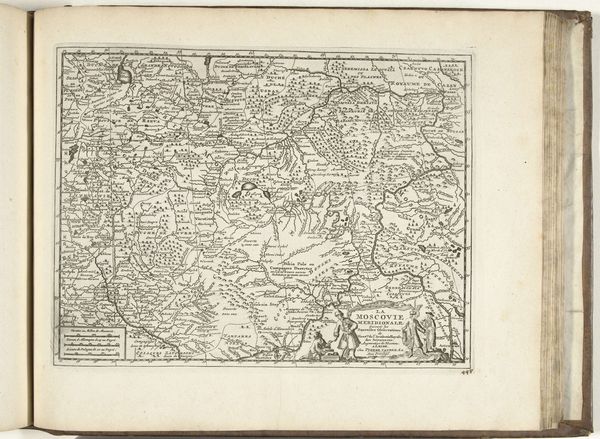
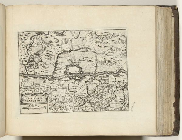
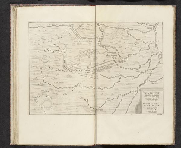
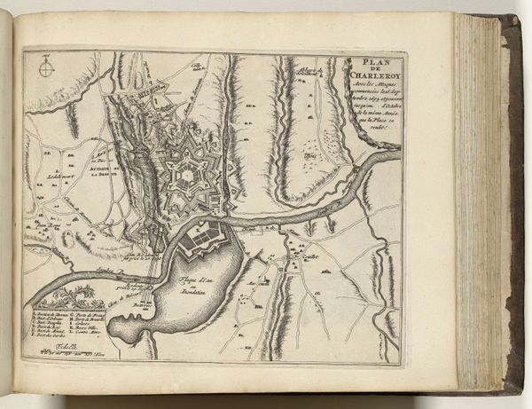
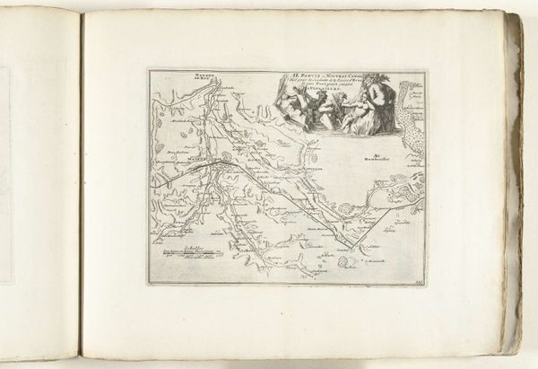
Curator: This work, currently held at the Rijksmuseum, is a map titled "Kaart van de omgeving van Straatsburg, ca. 1693-1696." It is rendered with ink on paper using engraving techniques, typical of the Baroque style. Editor: It's incredibly detailed; almost obsessive in its linework. I find the density of marks calming, but I wonder about the original intended purpose beyond mere representation. Curator: The rigorous, almost geometric arrangement suggests a keen interest in precise representation of space. Notice the delicate shading achieved through hatching and cross-hatching – purely formal qualities that create depth and volume, despite the two-dimensionality. Editor: Looking at this through a historical lens, one can speculate about its political implications. The act of mapping, defining borders, delineating settlements, all serve to assert a certain kind of power and control over a region, wouldn't you agree? Curator: Undoubtedly. And further, the aesthetic choices speak to a certain sensibility, of Enlightenment rationality trying to order and categorize the world. Look how line and form create hierarchies: settlements differ through symbol, line weights designate primary roads. Editor: Right. Also, it reminds me of how landscape painting rose in prominence around this time—a reflection of evolving socio-political landscapes and the increasing value placed on land ownership and control. The engraver has certainly framed the cityscape in very precise strokes! Curator: It's interesting to observe how the very constraints of the medium – the reliance on line and shading – end up accentuating form in this image, even more so than color might have. This heightens our attention on details. Editor: Indeed, while seemingly objective, the map carries so many latent political, aesthetic, and even psychological dimensions—all etched onto this relatively small piece of paper. Curator: Examining its geometric underpinning and how line determines visual space truly makes me appreciate its artistic construction beyond mere geography. Editor: And understanding its historical moment reveals how even the seemingly most practical visual aids serve as potent artifacts, shaping not only physical territory, but also political ideology and societal ambition.
Comments
No comments
Be the first to comment and join the conversation on the ultimate creative platform.
More like this