print, paper, engraving
landscape
paper
geometric
history-painting
engraving
Dimensions: height 232 mm, width 303 mm
Copyright: Rijks Museum: Open Domain
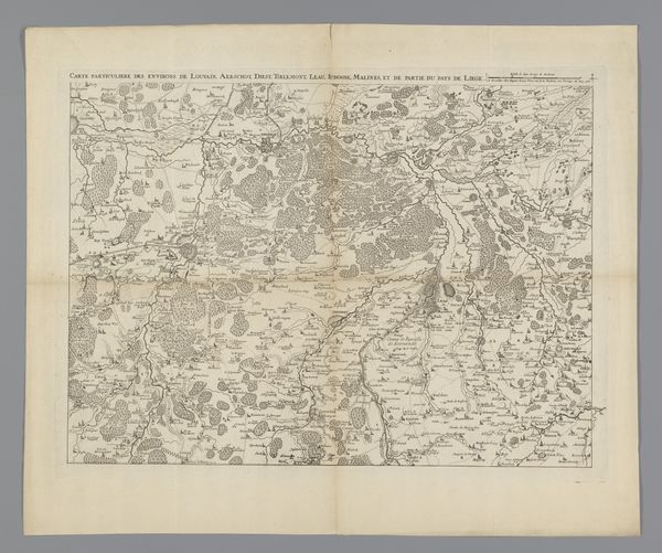
This is a map of Switzerland from 1726, created by an anonymous artist. Made during the early modern period, a time of emerging nation-states and shifting political landscapes, this map offers insights into how territories were perceived and represented. Notice the detailed rendering of cantons, cities, and geographical features. It's more than just a guide, it's a declaration of ownership and control. Consider the implications of mapping as an act of power. Who gets to define the boundaries? Whose perspectives are included or excluded? Maps like these played a role in shaping national identities and asserting dominance over land and people. The map also reflects the cultural context of its time. With its decorative cartouches and ornate script, it caters to the aesthetic sensibilities of its intended audience. It reminds us that even seemingly objective representations like maps are shaped by cultural values and ideologies. As you look at this map, think about its historical context and its role in shaping perceptions of space, identity, and power.
Comments
No comments
Be the first to comment and join the conversation on the ultimate creative platform.