print, engraving
#
dutch-golden-age
# print
#
old engraving style
#
landscape
#
geometric
#
engraving
Dimensions: height 379 mm, width 497 mm
Copyright: Rijks Museum: Open Domain
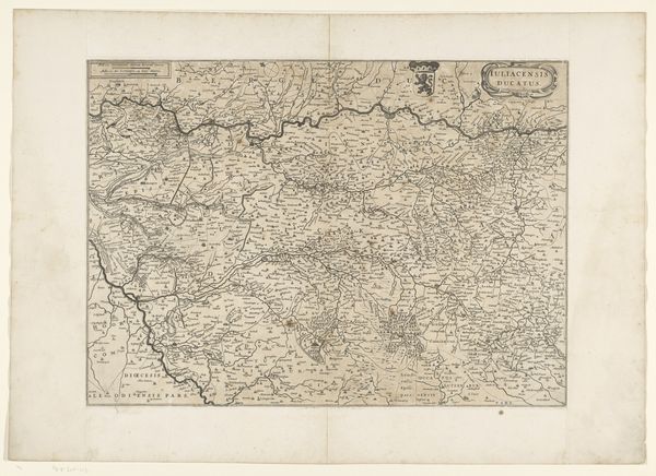
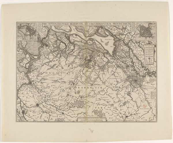
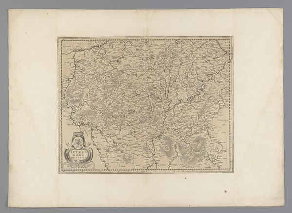
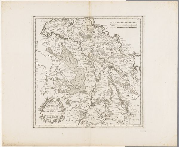
This is an anonymous map of the Duchy of Cleves and the Land of Ravenstein. It is an engraving at the Rijksmuseum. Maps are never neutral. They are products of institutions and cultural contexts, reflecting power dynamics and shaping our understanding of the world. Made in the Netherlands, this map, with its detailed depiction of geographical features and political boundaries, provides insights into the complex relationships of the time, during which the Dutch Republic was consolidating its power and influence in the region. The Duchy of Cleves was strategically important. We can interpret the map by looking at archival records, political treatises, and economic data from the period. These sources will shed light on the map's intended audience, its purpose, and its impact on contemporary society. Examining the map, we see the visual representation of land is contingent on specific political, economic, and social factors.
Comments
No comments
Be the first to comment and join the conversation on the ultimate creative platform.
More like this