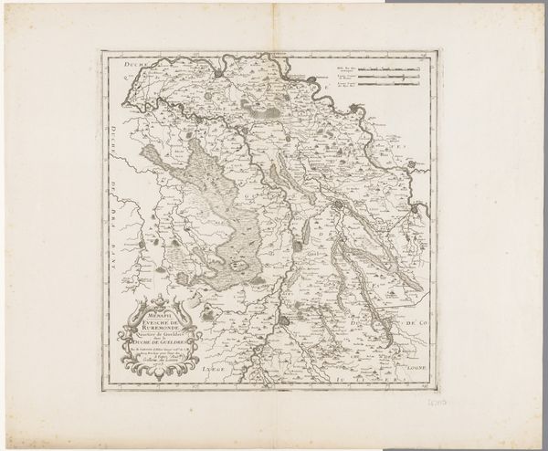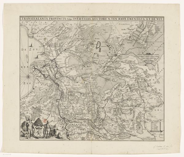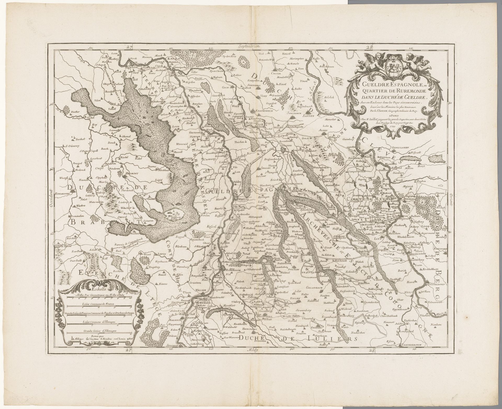
1701
Kaart van Gelderland
Anonymous
@anonymousLocation
RijksmuseumListen to curator's interpretation
Curatorial notes
This is an undated map of Gelderland, created by an anonymous artist, and now held in the Rijksmuseum. Maps are rarely neutral; they are cultural artifacts that tell us as much about the cartographer as the territory mapped. This map offers a glimpse into a world of shifting borders and contested territories. Gelderland, located in the Netherlands, held strategic importance, and its depiction here reflects the complex political landscape of the time. Consider how the map emphasizes certain features while omitting others. Whose perspectives and interests are prioritized? What does it mean to "own" or represent a territory on paper, particularly when that territory is inhabited by diverse groups of people with their own claims and histories? The act of mapping can thus be viewed as an assertion of power, influencing how we perceive and interact with the world around us.