graphic-art, print, engraving
#
graphic-art
#
rippled sketch texture
#
aged paper
#
dutch-golden-age
# print
#
pen sketch
#
old engraving style
#
landscape
#
personal sketchbook
#
hand drawn
#
pen-ink sketch
#
line
#
pen work
#
sketchbook drawing
#
sketchbook art
#
engraving
Dimensions: height 487 mm, width 573 mm
Copyright: Rijks Museum: Open Domain
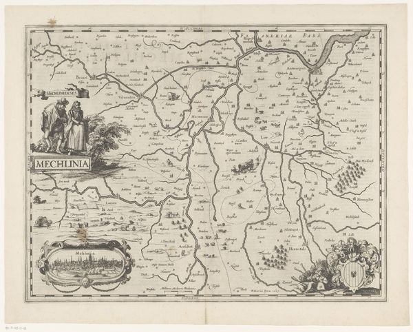
This is Abraham Goos's "Kaart van Gelderland," a detailed map rendered with fine lines, delineating the province's topography and settlements. Its structure is defined by a rigid grid, typical of cartographic representation. The map is framed with vignettes of cityscapes and figures, adding to its aesthetic complexity. The visual layout offers a fascinating study in semiotics. The careful delineation of geographical features acts as a sign system, encoding environmental and cultural information within its lines and symbols. The grid structure imposes an order onto the landscape, reflecting a desire to rationalize and control space. The map challenges established meanings by presenting a subjective interpretation of geographical reality. Consider the precision with which Goos details each town and river. This emphasis on formal accuracy transforms the landscape into a carefully structured representation that reflects broader cultural desires for knowledge and control.
Comments
No comments
Be the first to comment and join the conversation on the ultimate creative platform.
More like this