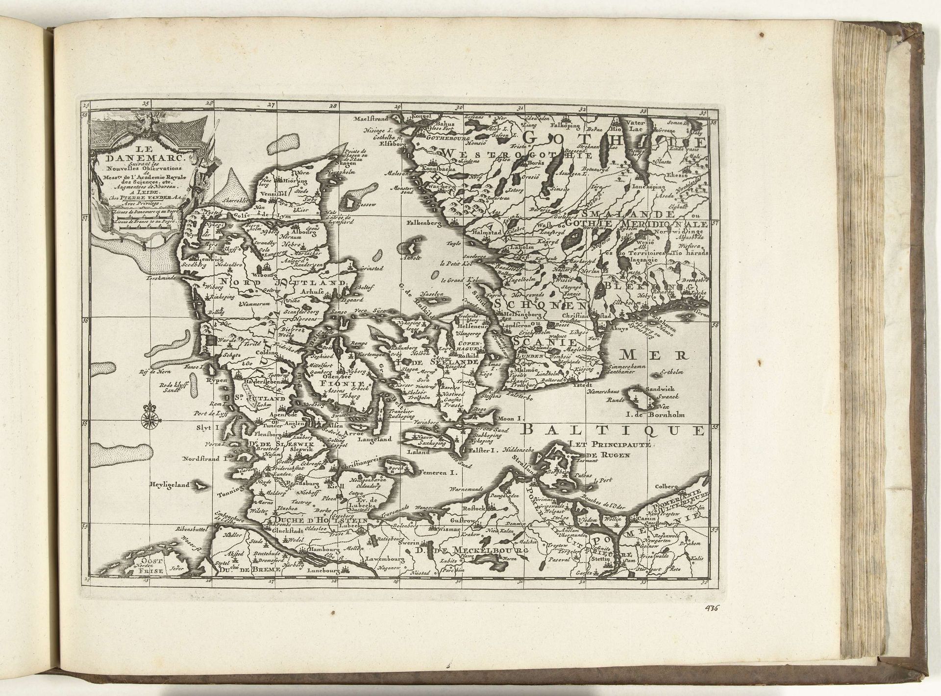
1726
Kaart van Denemarken, 1726
Anonymous
@anonymousLocation
RijksmuseumListen to curator's interpretation
Curatorial notes
This 1726 map of Denmark, etched anonymously, presents more than mere geography; it is a theater of cultural memory. The compass rose, prominently displayed, echoes those found in ancient mariner charts, a symbol not just for navigation but for humankind’s yearning to explore the unknown and map its existence. Observe how the depiction of coastlines and boundaries subtly asserts dominion. Maps, like religious iconography, were instruments of power, defining territories and legitimizing control. The very act of mapping—of imposing order onto the world—reveals a deep-seated human desire to dominate and understand our surroundings. Consider the symbolic weight of "Terra Incognita" on old maps, a space filled with monsters, embodying both fear and fascination with the unknown. Even in its precision, this map whispers of the complex interplay between knowledge and power, a recurring theme that transcends time. This cartographic endeavor engages us on a subconscious level, reflecting our endless quest to chart not only the world around us, but also our place within it.