drawing, print, paper, ink, engraving
#
drawing
#
baroque
# print
#
paper
#
ink
#
cityscape
#
engraving
Dimensions: height 159 mm, width 215 mm
Copyright: Rijks Museum: Open Domain
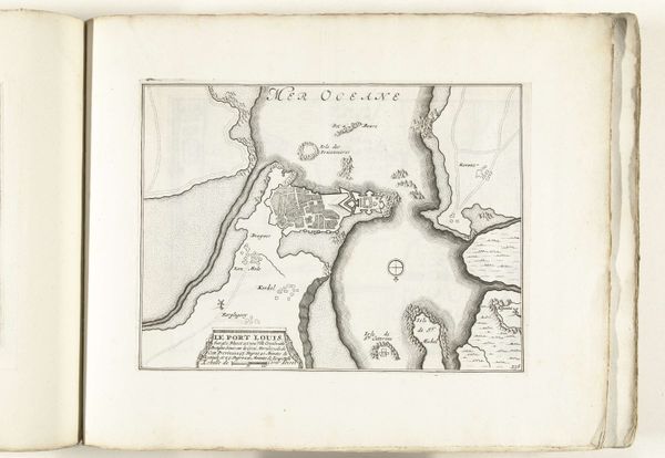
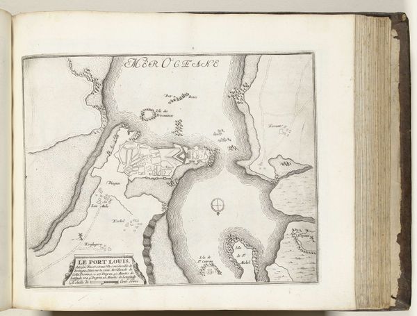
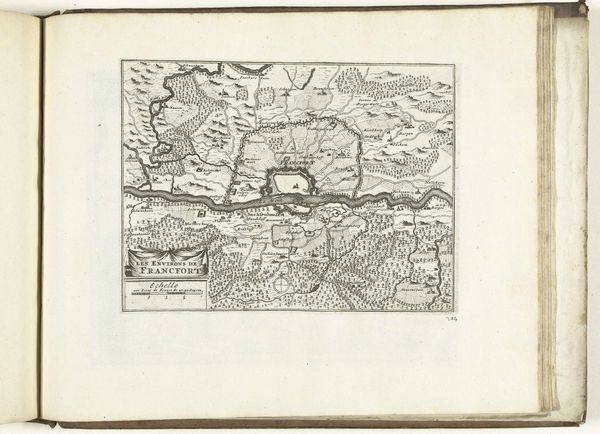
This map of Villefranche-sur-Mer and its surroundings was made in 1726 by an anonymous artist, using an engraving technique. The lines are sharp, each carefully etched into a metal plate and then printed onto paper. Notice how the process itself influences the map's appearance. The engraving allows for incredible detail, capturing the texture of the land and the precise layout of fortifications. This wasn't just about aesthetics. Maps like these were vital tools for navigation, military strategy, and colonial expansion. Skilled engravers were in high demand and were highly valued. Consider the amount of labor involved. Each line represents countless hours of meticulous work, reflecting the social and political imperatives of the time. By focusing on the materials and making, we can understand its cultural significance, and challenge traditional distinctions between craft and fine art.
Comments
No comments
Be the first to comment and join the conversation on the ultimate creative platform.
More like this