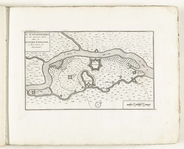
drawing, print, ink, engraving
#
drawing
#
baroque
# print
#
ink
#
cityscape
#
history-painting
#
engraving
Dimensions: height 216 mm, width 315 mm
Copyright: Rijks Museum: Open Domain
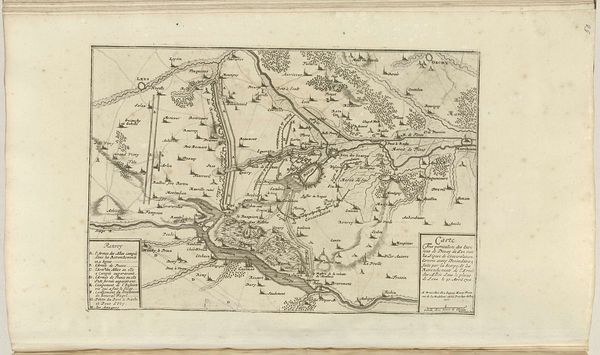
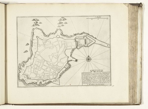
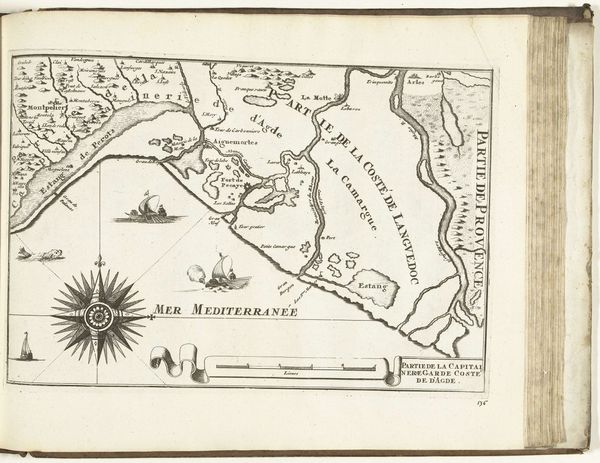
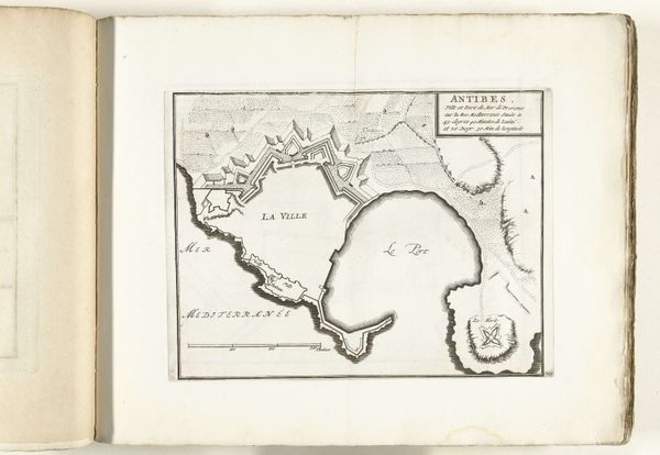
This is a map of Cartagena in Colombia, printed in 1726 by an anonymous maker. Likely created using a copper plate engraving, the process begins with an artist incising an image into a polished copper plate. The plate is then inked, and the surface wiped clean, leaving ink only in the etched lines. Finally, the plate is pressed onto paper, transferring the image. Notice the dense lines creating land mass and the radiating lines indicating navigation routes. Cartography was vital to colonial expansion, allowing for the control and exploitation of resources and people. This map is a testament to the labor involved in both its creation and the colonial project it supported. The precision and detail of the map reflect a significant investment of time and skill. By focusing on the processes of making, we can begin to understand the deep connections between art, labor, and power. The map's existence is not just about geography, but about the social and economic forces that shaped the world.
Comments
No comments
Be the first to comment and join the conversation on the ultimate creative platform.
More like this