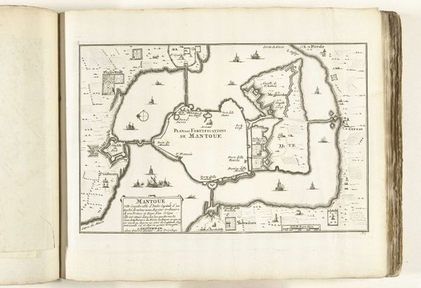
graphic-art, print, engraving
#
graphic-art
#
baroque
#
pen drawing
# print
#
landscape
#
line
#
engraving
Dimensions: height 229 mm, width 334 mm
Copyright: Rijks Museum: Open Domain
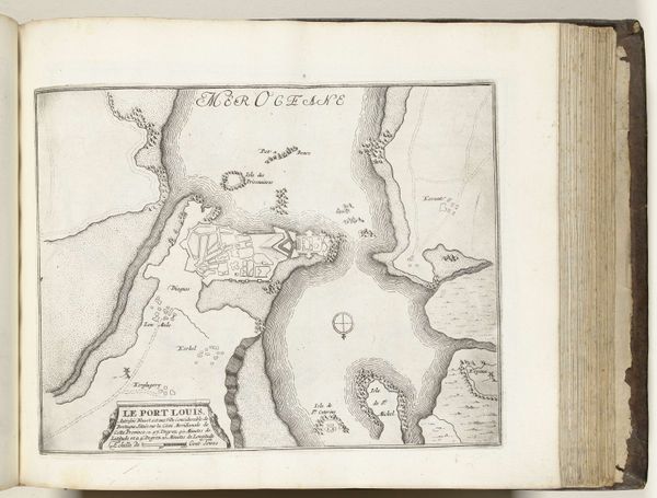
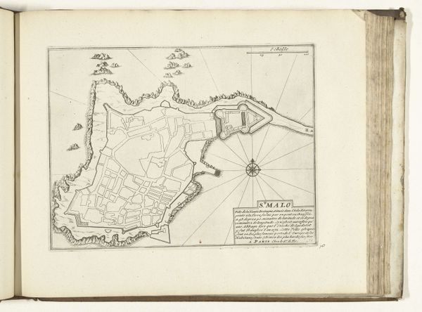
This is an anonymous map of the French southern coast near Montpellier, created in 1726. Executed with fine lines and a stark contrast between the paper and ink, the map presents us with a formal arrangement of geographical elements. The visual structure is dominated by the stark lines defining the coast and waterways. The cartographer’s precision creates a tension between representation and abstraction. Note the intricate compass rose, its radial symmetry anchoring the composition, a semiotic assertion of control over the represented space. Consider how the map functions not merely as a practical tool, but also as an assertion of power and a reflection of early 18th-century attitudes towards space and knowledge. The ordering of space is a visual coding of power relations. This tension between objective representation and subjective interpretation invites us to consider how maps, like art, construct and mediate our understanding of the world.
Comments
No comments
Be the first to comment and join the conversation on the ultimate creative platform.
More like this