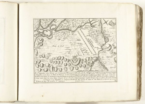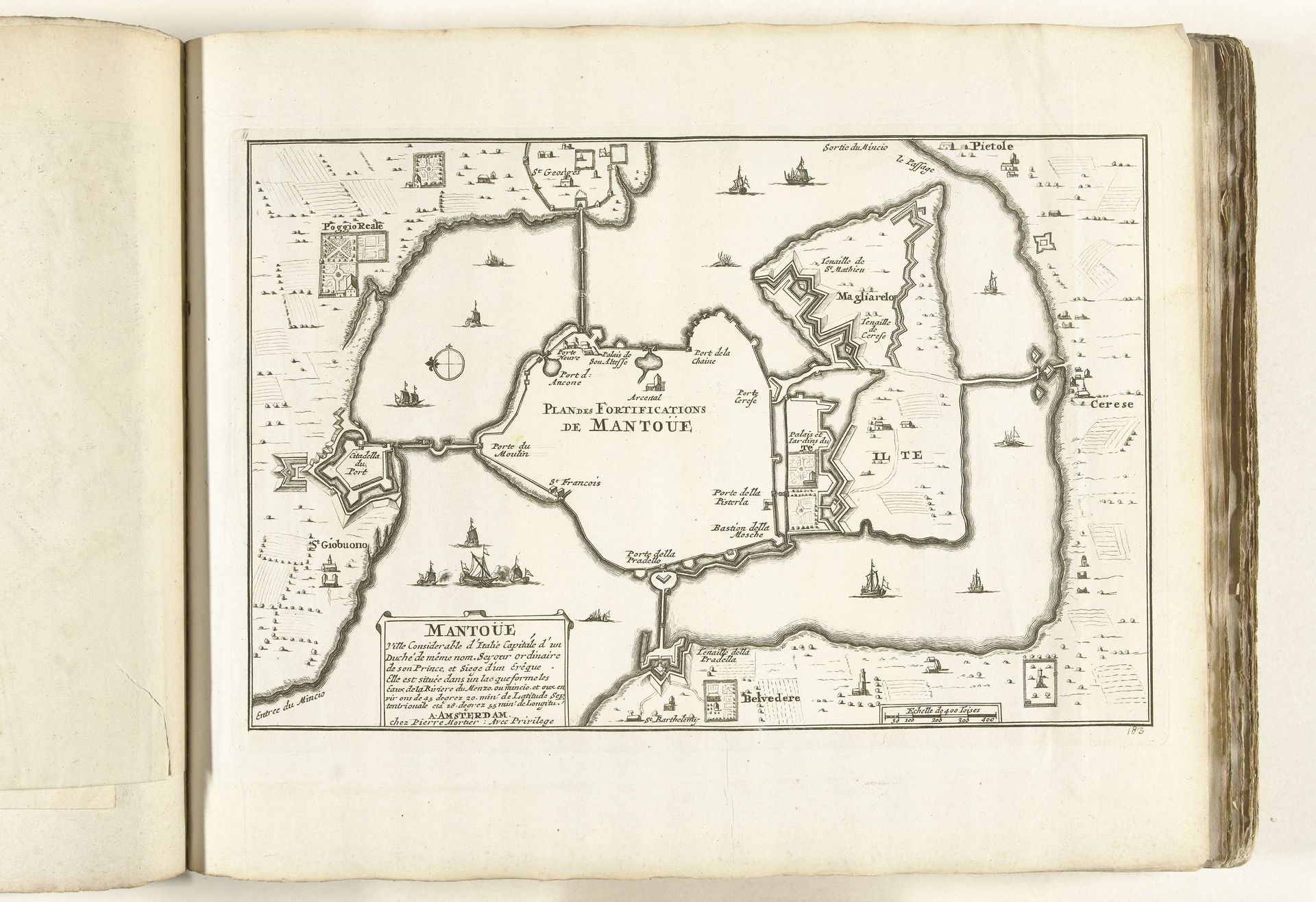
1702 - 1703
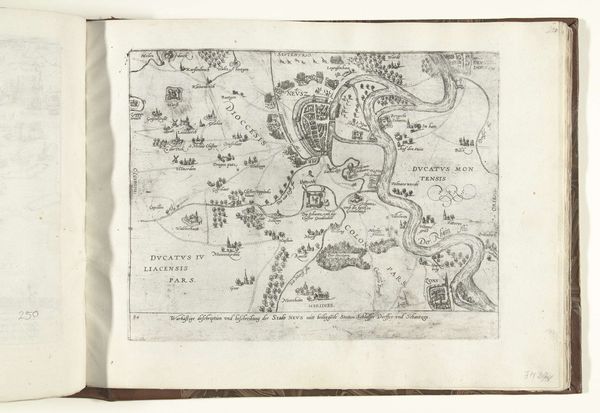
Plattegrond van Mantua, ca. 1702
Anonymous
@anonymousLocation
RijksmuseumListen to curator's interpretation
Curatorial notes
This is an anonymous drawing of the ‘Plattegrond van Mantua’, made around 1702. The detailed linework presents a stark, almost abstract image of the city's layout and fortifications. It’s striking how such a functional object—a map—can be so compelling as a visual composition. The map meticulously renders Mantua's urban structure through a network of lines and shapes. Note the interplay between the built environment and the surrounding waters, creating a complex interplay of positive and negative space. The use of line, varying in thickness and density, delineates buildings, waterways, and defensive structures. Each element is reduced to its essential form. The map functions as a semiotic system where each mark carries specific information, representing urban elements and strategic fortifications. Yet, these symbols transcend their immediate function. They invite us to consider how such visual representations shape our understanding of space, power, and the very idea of the city. Ultimately, this detailed map is not just a record but an interpretation, reflecting the period's approach to knowledge and representation.