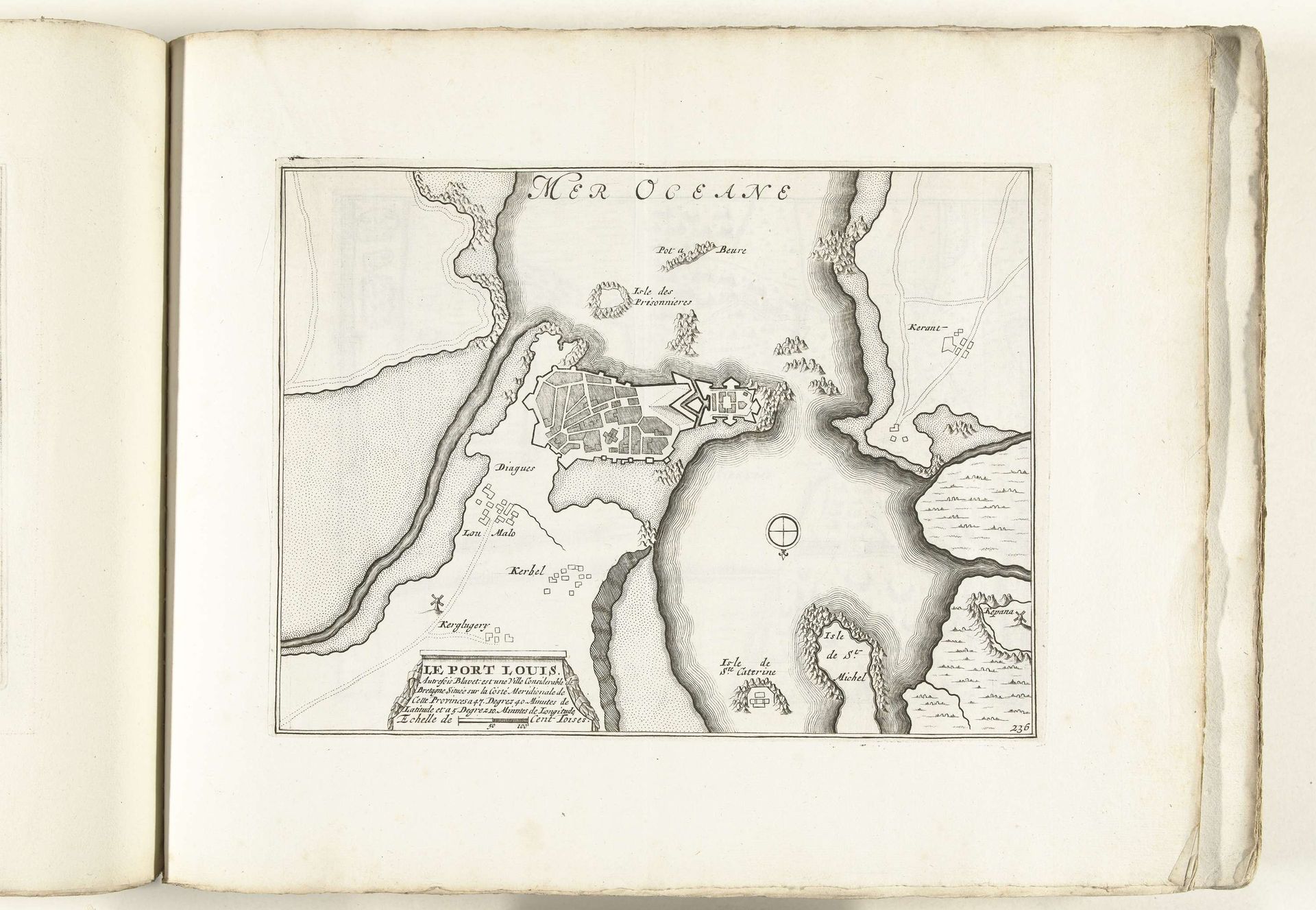
1702 - 1703
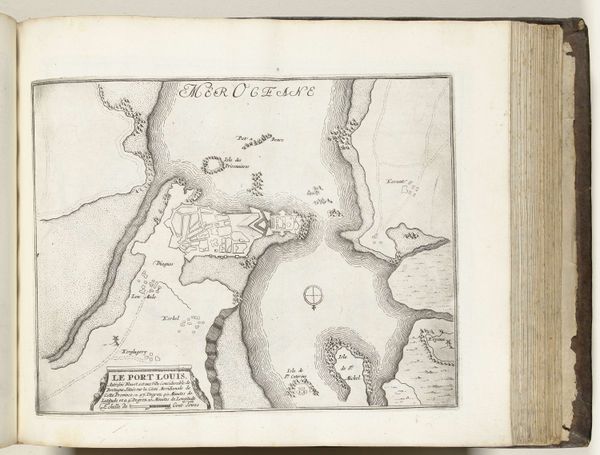
Plattegrond van Port Louis, ca. 1702
Anonymous
@anonymousLocation
RijksmuseumListen to curator's interpretation
Curatorial notes
This is a map of Port Louis, made around 1702 by an anonymous artist. The image depicts the capital city of Mauritius, an island nation off the coast of Africa, and it reflects the political and economic ambitions of European powers during the age of exploration. The visual codes within the map, such as the clear delineation of the port and fortifications, emphasize control and strategic advantage. This was a period of intense colonial rivalry, and maps like these were crucial tools for projecting power and securing trade routes. The Dutch East India Company, for example, relied heavily on cartography to establish and maintain its dominance in the Indian Ocean. Understanding the historical context of this map requires delving into archives and colonial records. By examining these resources, we can better understand the map not only as a representation of a place, but as an assertion of authority and a reflection of broader institutional forces at play.