drawing, print, paper, ink, engraving
#
drawing
#
baroque
# print
#
pen sketch
#
paper
#
ink
#
geometric
#
cityscape
#
engraving
Dimensions: height 189 mm, width 278 mm
Copyright: Rijks Museum: Open Domain
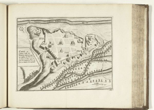
This is a map of Gothenburg, Sweden, from 1726, etched into a copper plate. The engraver, though anonymous, would have relied on a range of specialized skills. The process began with a prepared copper plate, polished smooth. Using specialized tools, the design was carved into the metal, line by careful line. Consider the material qualities of copper. Its relative softness allowed for precise engraving, capturing the city's layout. This print embodies a tension, though. On the one hand, it represents the height of urban planning, a symbol of control and order. On the other, its production depended on laborious handwork. Each line speaks to the engraver's meticulous effort. The resulting prints, made for distribution, democratized access to this information. The map thus straddles the world of artisanal craft and the dawn of mass production. By attending to its making, we can appreciate the historical conditions that gave rise to both the city of Gothenburg and its image.
Comments
No comments
Be the first to comment and join the conversation on the ultimate creative platform.
More like this