drawing, print, ink, engraving
#
drawing
# print
#
ink
#
geometric
#
cityscape
#
engraving
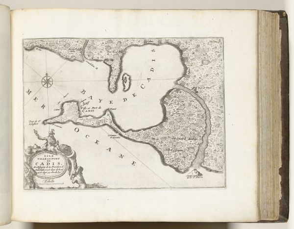
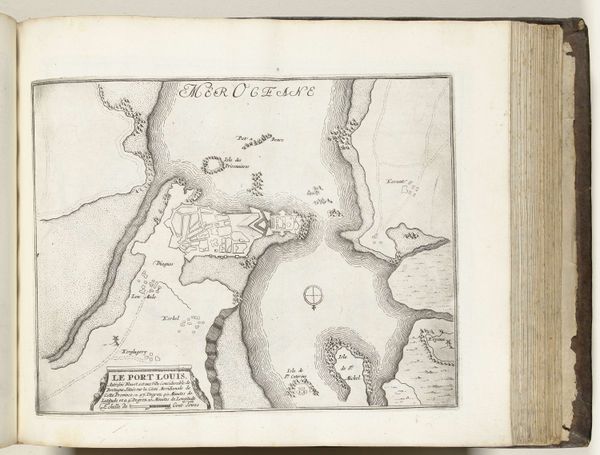
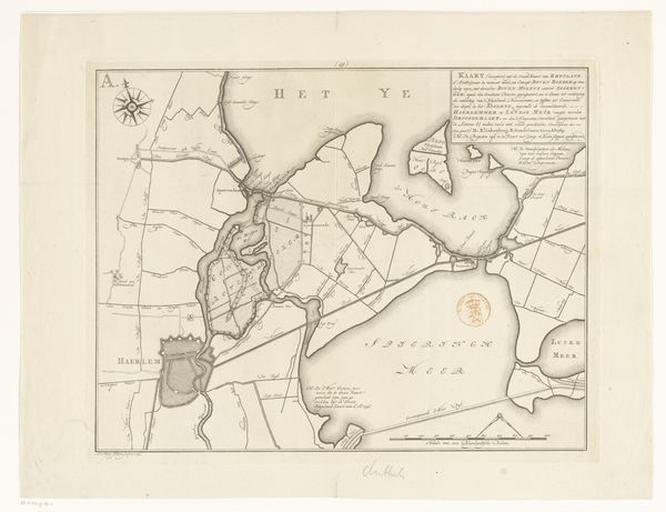
Dimensions: height 221 mm, width 295 mm
Copyright: Rijks Museum: Open Domain
This is a ground plan of La Rochelle, made in 1726 by an anonymous artist, using ink on paper. The material itself, paper, speaks to a moment of increasing literacy and documentation, part of the rise of bureaucratic culture. The process by which this image was created – likely through meticulous drafting and engraving – also conveys much about the period in which it was made. Consider the precision required to depict the city's fortifications, streets, and waterways. This wasn't just a work of art; it was a functional document, perhaps used for military planning or civic administration. The act of mapping itself signifies control, of surveying and mastering space. The sharp lines and careful lettering suggest an attempt to impose order on the world, and speak to broader social issues of governance, labor, and the will to power. So, next time you see a seemingly simple map, remember that it’s not just about geography. It's about materials, making, and the human desire to shape our environment.
Comments
No comments
Be the first to comment and join the conversation on the ultimate creative platform.
More like this