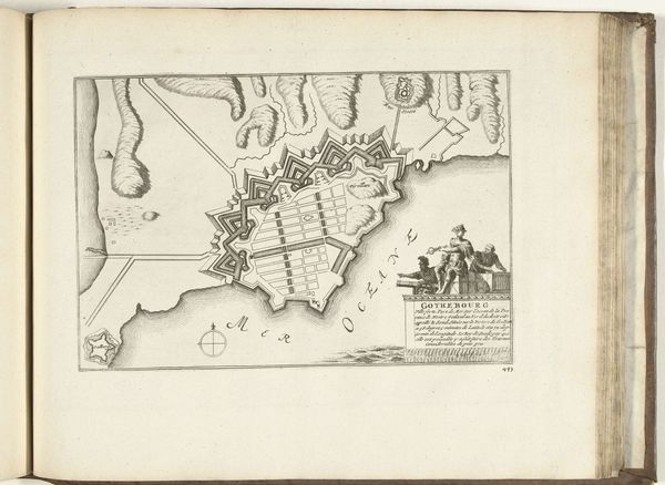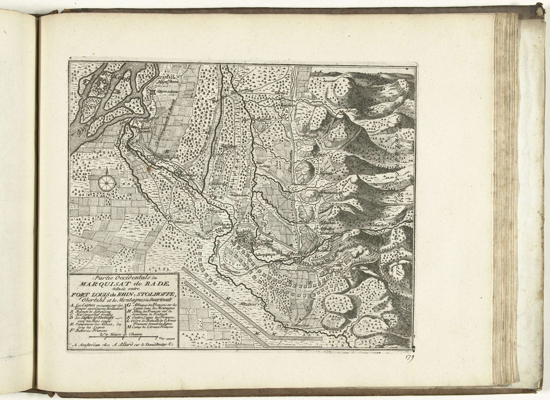
1726
Kaart van het westen van markizaat Baden, 1726
Abraham Allard
1676 - 1725Location
RijksmuseumListen to curator's interpretation
Curatorial notes
Curator: Look at this beautiful 18th-century map! Abraham Allard created "Kaart van het westen van markizaat Baden, 1726." It's a print using engraving and ink on paper. Editor: It's mesmerizing! It’s more than just geography; I feel like I’m peering into the very soul of that region. There's such a feeling of meticulous planning and also a celebration of nature. Curator: Absolutely. Allard was operating in a period keenly focused on territorial control. Maps like this served not only practical navigational purposes but were crucial political tools. Baden was a complex area with different religions living there, so this sort of cartography would provide detailed information on resources, settlements, and, importantly, fortifications. Editor: Seeing this now, you realize how much a map has to do with power. And notice the placement of those forests? I am intrigued by the dark regions across what would be, otherwise, clear fields. Is it suggesting control over what may have felt wild? Curator: Yes, that’s spot on! The map is quite intentional about demonstrating landscape usage. Forests were resources, the courses of rivers potential avenues of commerce or defense. Allard is really documenting human interaction and attempted command over geography, marking human presence across what you rightly pointed out was viewed, at that time, as dangerous, untamed nature. Editor: It brings forward all those conversations around environmental exploitation and stewardship in the age of extractive capitalism! This map isn't just a static piece; it's part of this ongoing historical conversation about our relationship with nature. And let's also address the inherent bias – it's from a specific viewpoint, asserting power. Curator: Indeed, this cartographic work also reminds us how these representations legitimized colonial claims by translating land into understandable parcels for ownership. So what starts as an objective bird's eye perspective carries so much ideological baggage. Editor: I think my favorite thing about these older pieces is they spark an awareness. Curator: I agree. Now it reminds us that, to look at maps now and then, you also have to think about not just where something is but the very circumstances in which the depiction came into existence.