drawing, ink, pen
#
drawing
#
aged paper
#
toned paper
#
baroque
#
pen sketch
#
old engraving style
#
personal sketchbook
#
ink
#
ink drawing experimentation
#
pen-ink sketch
#
pen work
#
sketchbook drawing
#
pen
#
cityscape
#
sketchbook art
Dimensions: height 203 mm, width 269 mm
Copyright: Rijks Museum: Open Domain
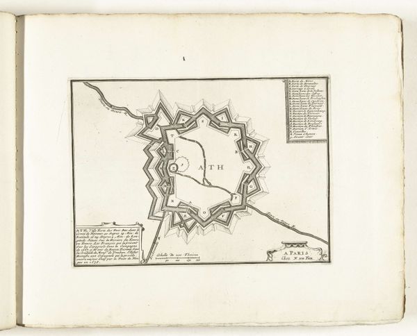
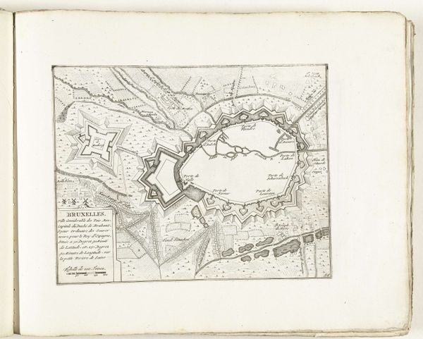
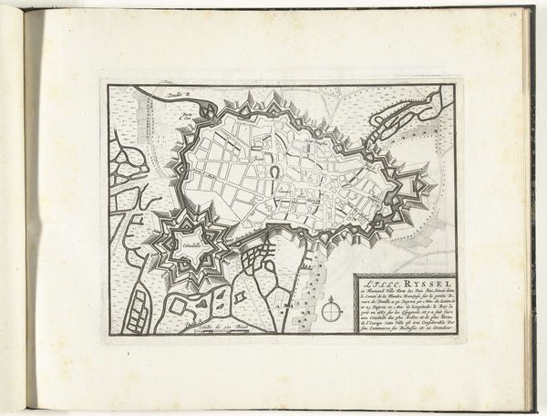
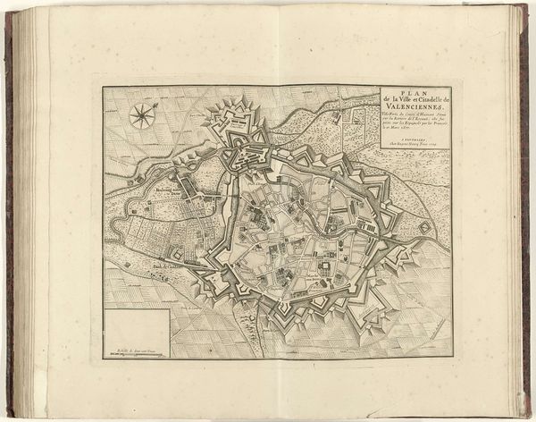
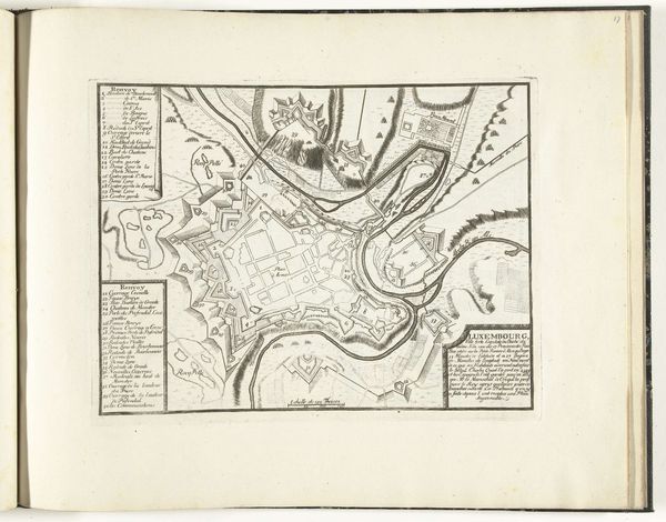
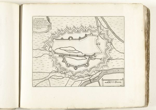
This is an uncredited map of Vienna, made around 1702, offering a bird’s eye view of the city. Engravings like this one served not only as navigational tools, but also as statements of power, reflecting a time when Europe's urban centers were seats of imperial ambition. Note the city’s fortifications, which speak to Vienna’s strategic importance and the constant threat of invasion during the early 18th century. This map simplifies and idealizes Vienna, presenting an image of order and control that the Habsburg rulers were keen to project. Consider the act of mapping itself – a form of claiming and controlling territory. Maps like these were instrumental in shaping perceptions, reinforcing hierarchies, and influencing geopolitical strategies. In its lines, we see a visual representation of power, culture, and identity, rendered during a pivotal period in European history.
Comments
No comments
Be the first to comment and join the conversation on the ultimate creative platform.
More like this