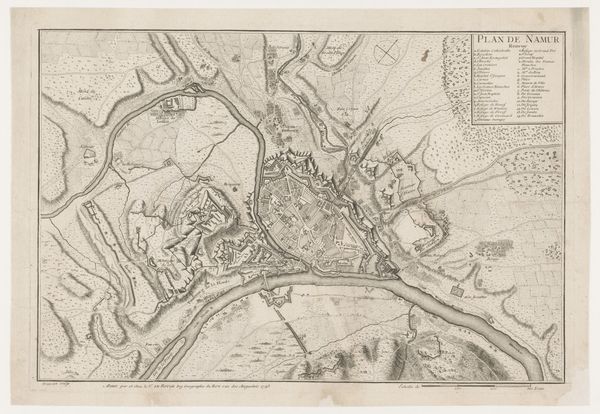
drawing, print, ink
drawing
baroque
pen illustration
ink
geometric
history-painting
Dimensions: height 239 mm, width 295 mm
Copyright: Rijks Museum: Open Domain
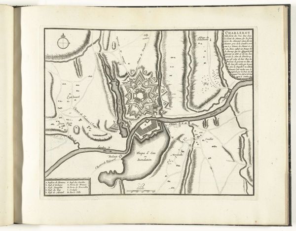
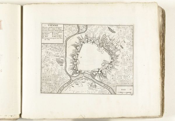
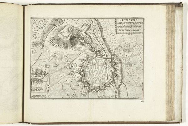
This is an anonymous engraving from 1693, presenting a plan of the siege of Charleroi. Immediately striking is the stark contrast of black lines against the pale paper, creating a visual architecture of war. The composition divides roughly into quadrants, with the fortified city at its heart. Notice how the lines articulate the city's defenses—the angular projections, the moats, and the careful gradations suggesting elevation. Rivers meander as lifelines around the strong geometric shapes of the fortifications. Fields, roads, and siege lines fill the negative space. These fine lines create a tense dialogue between the natural landscape and calculated strategy. Consider this map not just as a depiction of space but as a representation of power. The lines and shapes impose a symbolic order onto the terrain, transforming it into a theater of conflict. The map's stark aesthetic, while seemingly objective, subtly encodes the drama of siege and conquest. Maps such as this, while appearing to provide clarity, often manipulate our perception, highlighting the constructed nature of reality.
Comments
No comments
Be the first to comment and join the conversation on the ultimate creative platform.