drawing, print, etching, ink, pen
#
drawing
#
baroque
# print
#
etching
#
landscape
#
ink
#
pen
#
cityscape
Dimensions: height 243 mm, width 305 mm
Copyright: Rijks Museum: Open Domain
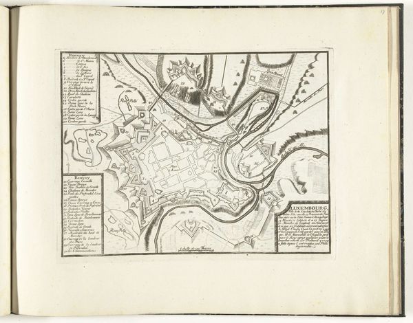
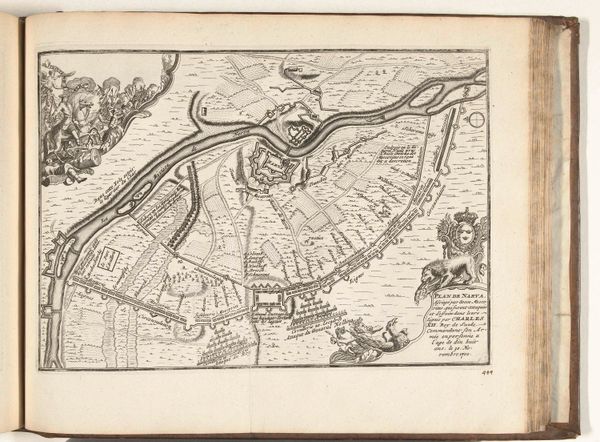
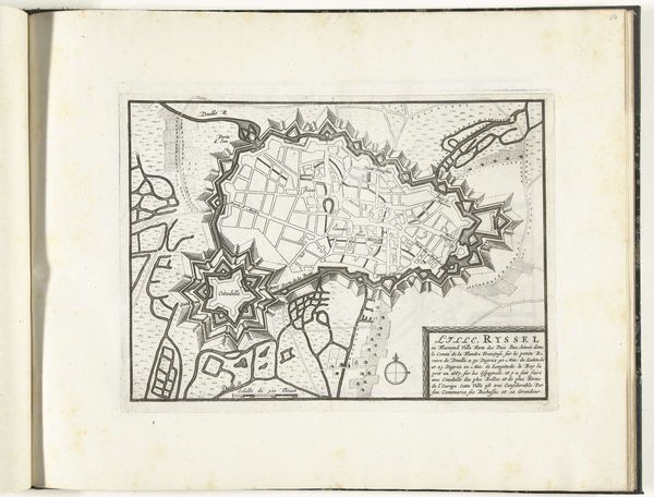
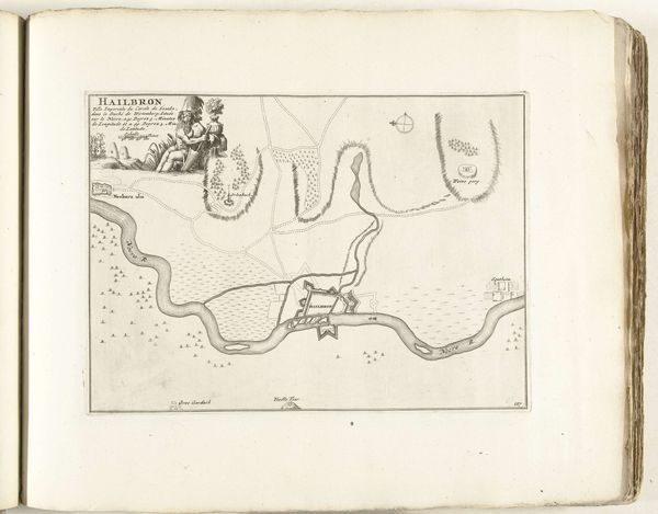
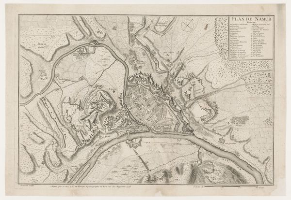
This is an unauthored, undated map of Charleroi, likely made between 1693 and 1696. Charleroi, a city in present-day Belgium, was a site of strategic military importance during the late 17th century. The map provides a bird's-eye view of the city and its surroundings, with a geometric, star-shaped fortress at its center, reflecting the era's military architecture. The detailed rendering of the landscape, including the rivers and topography, underscores the importance of geographical knowledge in military planning and control. Produced in a time of conflict, the map served a practical, political purpose, not only as a tool for governance and military strategy, but also embodies notions of power and control. Today, it serves as a potent reminder of the human cost of geopolitical strategy and conflict. The map invites us to reflect on the relationship between space, power, and human experience.
Comments
No comments
Be the first to comment and join the conversation on the ultimate creative platform.
More like this