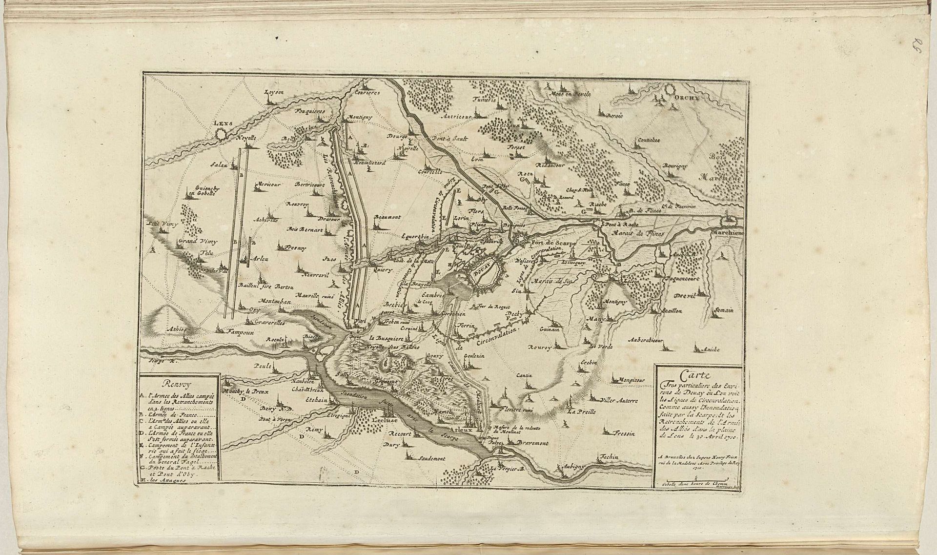
1710
Kaart van de omgeving van Douai, 1710
Jacobus Harrewijn
1660 - 1732Location
RijksmuseumListen to curator's interpretation
Curatorial notes
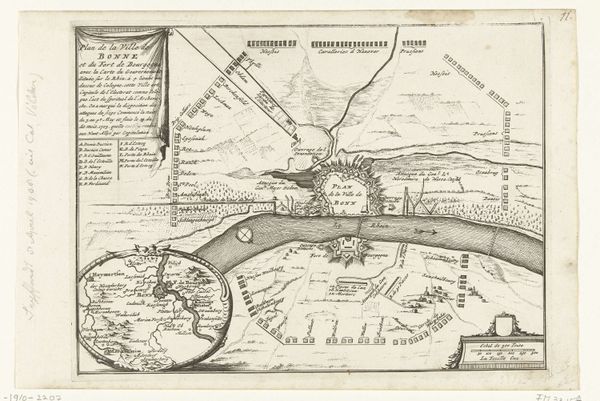
Jacobus Harrewijn created this map of the Douai region in 1710. The print’s sepia tones and dense linework invite us to consider the structure of spatial representation itself. Notice how Harrewijn employs a network of lines to delineate fields, waterways, and fortifications. These aren’t just neutral depictions; they're encoded with meaning. The thickness and directionality of lines suggest depth, hierarchy, and movement, guiding our eye across the landscape. The strategic placement of textual annotations functions as a semiotic key, unlocking layers of geographical and political information. Harrewijn’s map destabilizes the idea of a purely objective representation. It's a construct, a carefully organized system of signs that reflects not just physical space but also the power dynamics inherent in mapping and claiming territory. The map frames the land. It also invites us to reflect on the relationship between space, knowledge, and control.