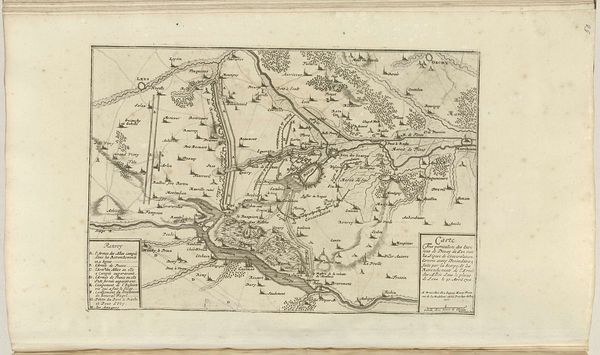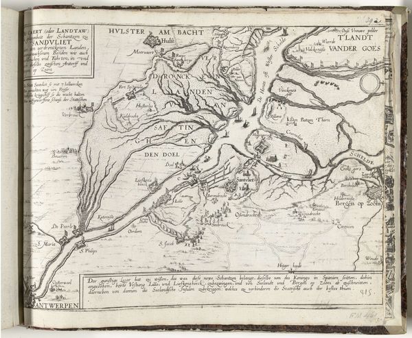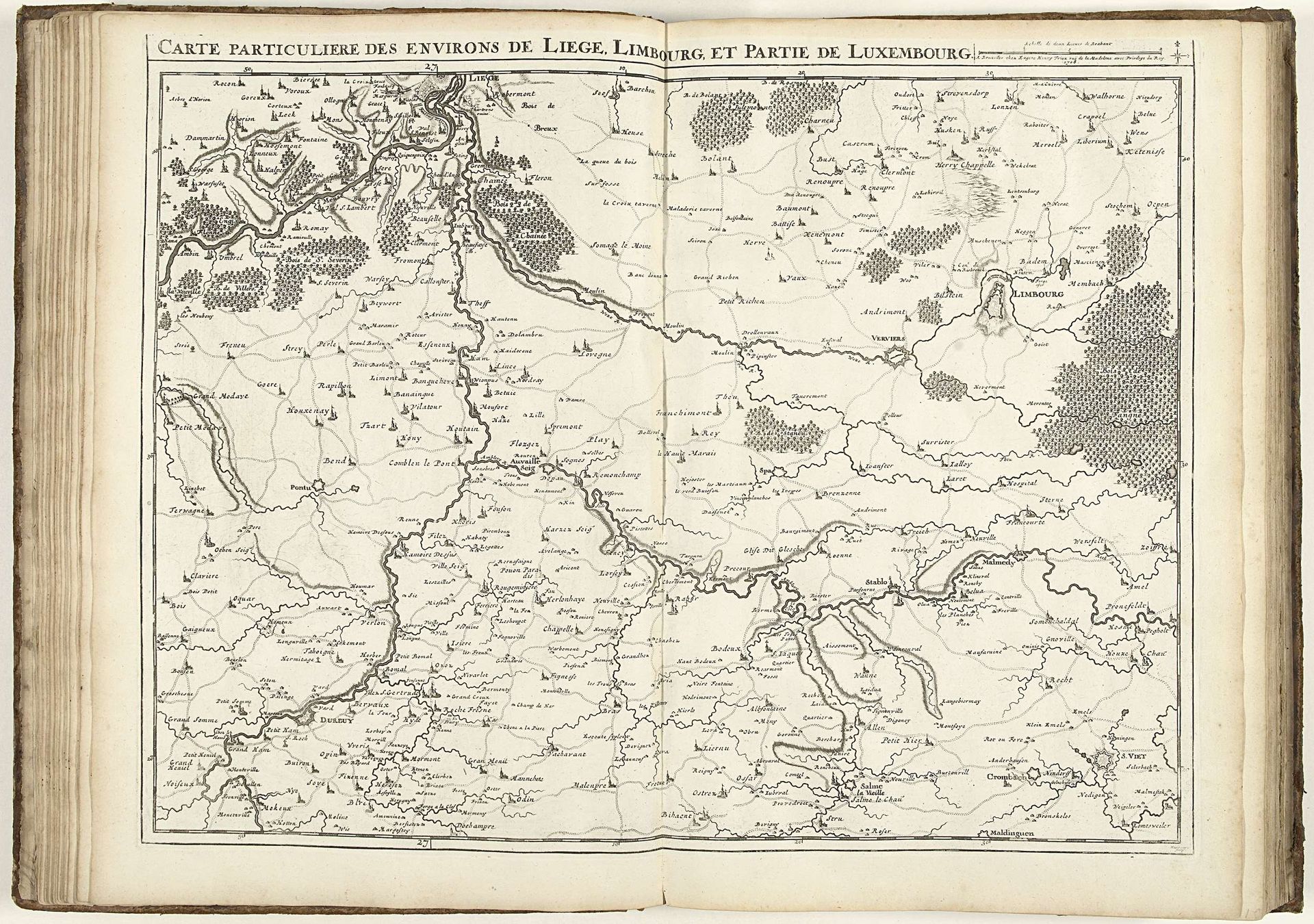
1708
Kaart van de provincies Luik en Luxemburg, 1708
Jacobus Harrewijn
1660 - 1732Location
RijksmuseumListen to curator's interpretation
Curatorial notes
Curator: Here we have a fascinating piece titled "Kaart van de provincies Luik en Luxemburg, 1708," a print created by Jacobus Harrewijn. It resides in the Rijksmuseum collection. Editor: At first glance, I see a network of lines that delineate land and water. It evokes a sense of exploration and administrative control over the terrain. Curator: Indeed. During the early 18th century, maps weren’t just about geographical accuracy, they were about power. Mapping territories, understanding resources - it was all integral to controlling and governing land. Editor: So the act of mapping itself becomes a political act, an assertion of dominance? I'm curious about who this map was intended for and what purpose it served in its historical context. Were there social consequences to delineating borders in this manner? Curator: Precisely. This particular map, with its meticulous details of the Liege and Luxembourg provinces, would likely have been commissioned by and for the aristocratic leadership of the time. It aided them in visualising the economic lay of the land, trade routes and defensible territories. Harrewijn was well regarded in the Dutch Republic and beyond. Editor: It’s amazing to think how deeply entwined cartography was with the expansion and exercise of power. This wasn’t merely about knowledge; it was about reinforcing existing hierarchies and influencing the lives of individuals in very concrete ways. How does the baroque style, if you can see it here, feed into that assertion of control? Curator: The Baroque period favored ornamentation and grandeur, even within technical drawings like maps. The title is prominently displayed with a flourish which, as a statement of ambition, mirrored the territorial aspirations of European states during this time. It gives a sense of order. Editor: This engraving offers us so much more than just coordinates. It's a stark reminder that maps are never neutral; they are representations shaped by cultural and political forces. Curator: An extremely relevant lens through which to read this Harrewijn work, then and now.