drawing, print, ink, engraving
#
drawing
#
baroque
#
pen drawing
# print
#
landscape
#
ink
#
geometric
#
engraving
Dimensions: height 445 mm, width 555 mm
Copyright: Rijks Museum: Open Domain
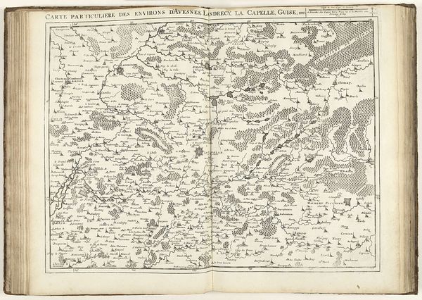
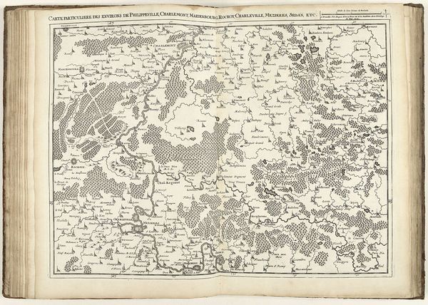
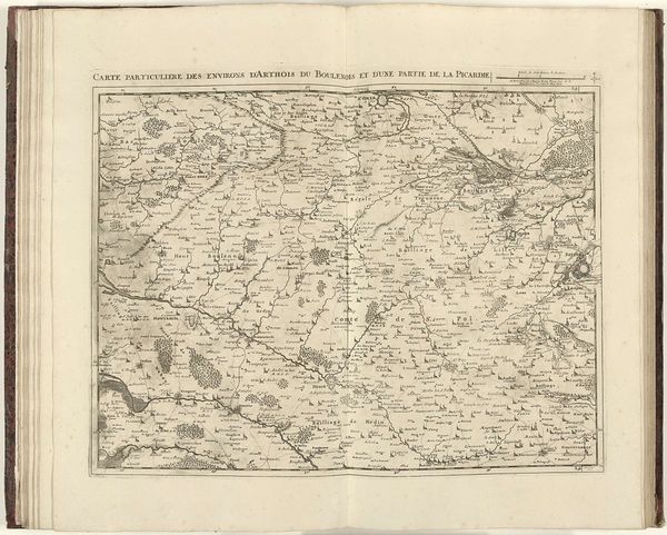
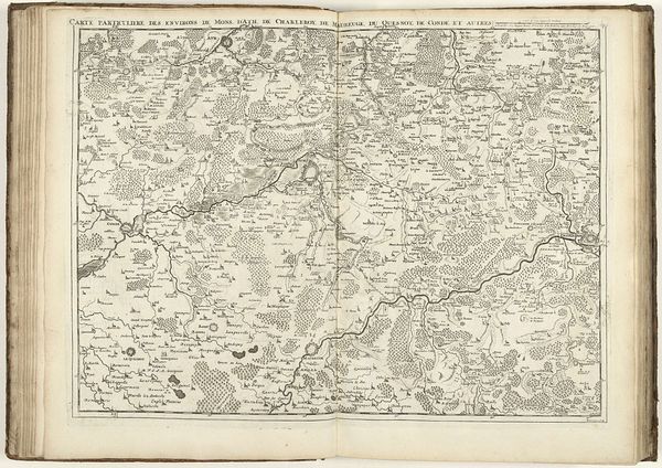
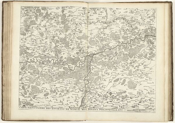
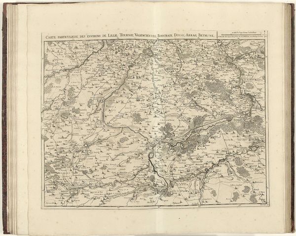
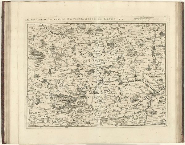
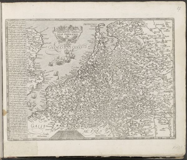
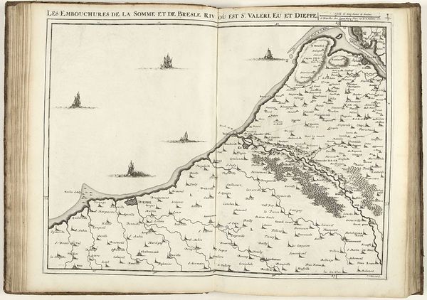
This is Jacobus Harrewijn's "Map of Northern France with the course of the Somme", made in 1710. Harrewijn, a draughtsman and engraver, created this map during a time of shifting political power in Europe. It offers us a glimpse into the detailed geographical knowledge that was strategically crucial. Maps like these played a significant role in shaping identities and territories, not just in a geographical sense. The careful delineation of towns, forests, and waterways spoke volumes about ownership, control, and the ambition to chart and claim spaces. This was a period marked by conflicts and negotiations, where maps were as much political tools as they were navigational aids. Consider how this map, with its intricate details, represents a very specific viewpoint, one that’s deeply embedded in the socio-political context of its time. It’s a reminder that every depiction, no matter how objective it seems, carries layers of meaning and intent. Maps help us understand how spaces were not only seen but also how they were meant to be understood and acted upon.
Comments
No comments
Be the first to comment and join the conversation on the ultimate creative platform.
More like this