print, engraving
#
dutch-golden-age
# print
#
asian-art
#
11_renaissance
#
geometric
#
history-painting
#
engraving
Dimensions: height 240 mm, width 336 mm
Copyright: Rijks Museum: Open Domain
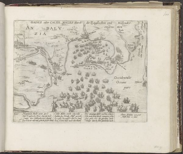
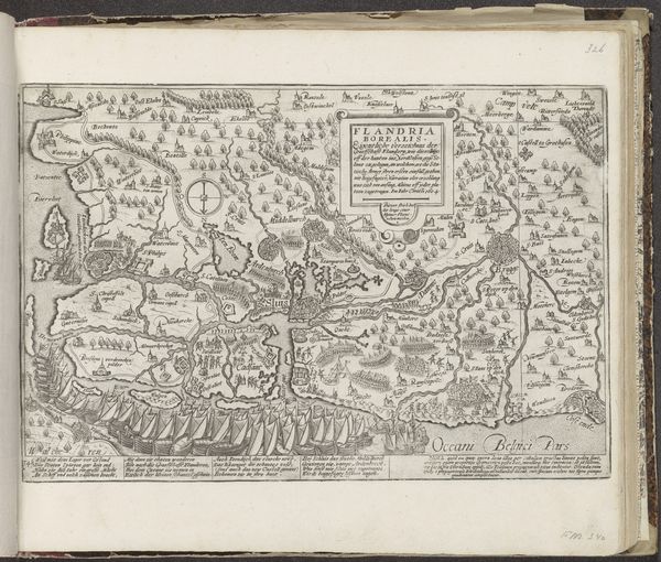
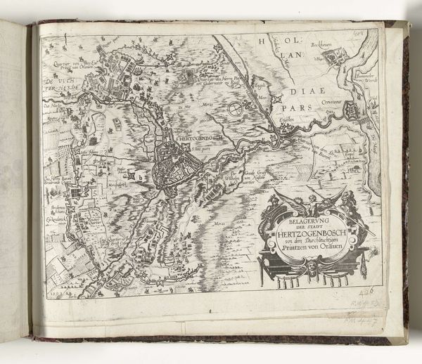
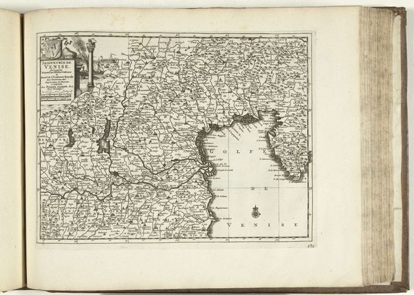
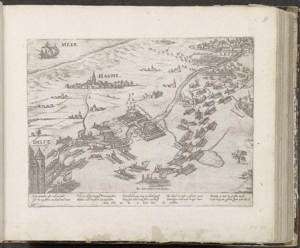
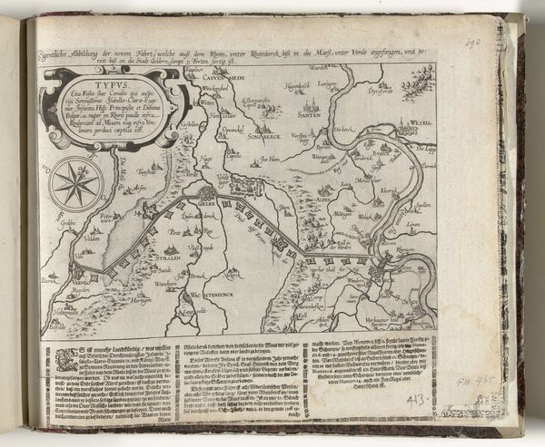
This map of the Netherlands was made by Frans Hogenberg around the late 16th century. It is an engraving – a print made by cutting lines into a metal plate, inking it, and pressing it onto paper. The technique speaks volumes. Engraving was a highly skilled, labor-intensive process, demanding precision and control. Look closely, and you'll see the incredible density of lines used to define the coastlines, rivers, and towns. Each of those lines was etched by hand. The act of production infuses the map with cultural significance, reflecting a time when knowledge was meticulously crafted, not mass-produced. The very nature of the medium – the sharp, unwavering line – lends the map a sense of authority. This was a period of exploration and colonization, and maps were powerful tools for claiming territory and asserting dominance. This map is more than just a representation of space, it's a testament to the labor, skill, and power dynamics inherent in its creation.
Comments
No comments
Be the first to comment and join the conversation on the ultimate creative platform.
More like this