print, ink, engraving
landscape
ink
engraving
Dimensions: height 433 mm, width 555 mm
Copyright: Rijks Museum: Open Domain
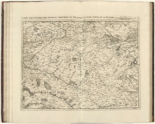
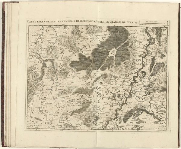
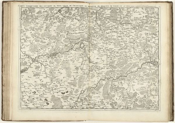
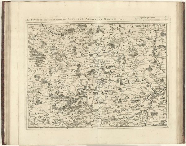
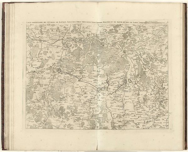
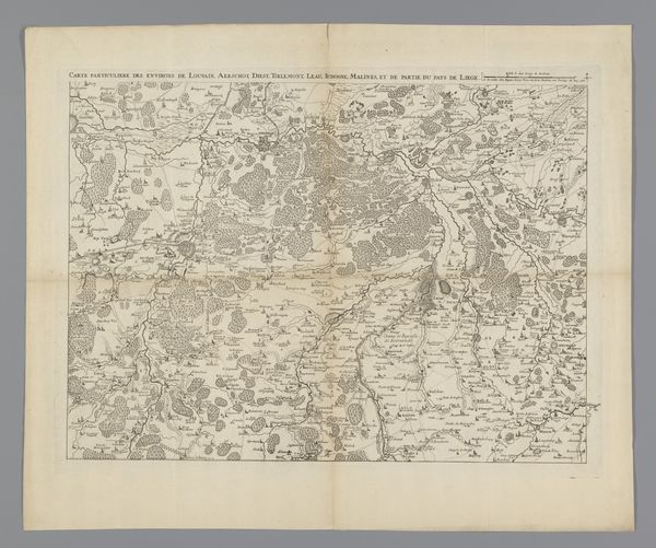
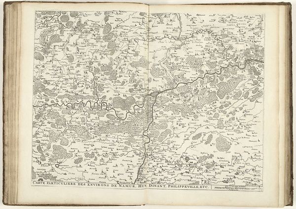
This map of Northern France was made in 1711 by Jacobus Harrewijn. Look closely, and you’ll see how the rivers and roads are depicted as lifelines, coursing through the land. These are not merely geographic features but symbols of connection and conflict. Harrewijn presents the land itself as a stage upon which human dramas unfold, echoing the ancient Roman concept of the “locus,” where specific places are imbued with stories and memories. Think back to the role of maps through the Renaissance, how the images evolved from simple records of pilgrimage routes to detailed records of military campaigns. The map evokes a deep sense of both place and time. The past is not just behind us, but layered within the present, influencing how we perceive and interact with the world. This map is a powerful reminder of the cyclical nature of history, where old patterns resurface in new contexts, shaping our understanding of who we are and where we come from.
Comments
No comments
Be the first to comment and join the conversation on the ultimate creative platform.