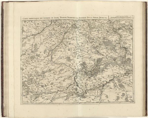
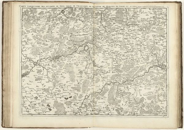
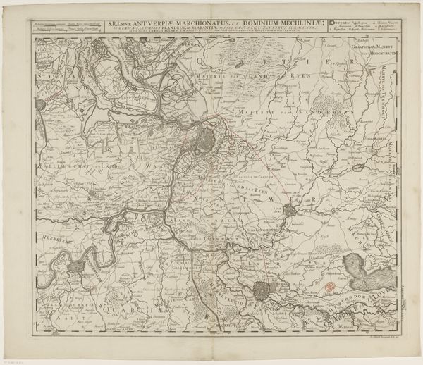
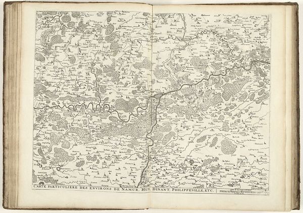
drawing, print, paper, ink, engraving
#
drawing
#
baroque
#
pen drawing
# print
#
landscape
#
paper
#
ink
#
geometric
#
cityscape
#
engraving
Dimensions: height 430 mm, width 570 mm
Copyright: Rijks Museum: Open Domain
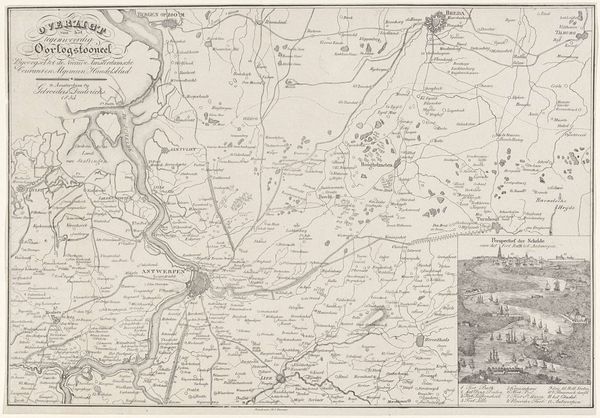
This map of the province of Antwerp was drawn by Jacobus Harrewijn in 1706. Here, we see symbols of civilization intertwining with the raw elements of nature. Observe the careful delineations of forests and waterways, a dance between what is cultivated and what is wild. Consider the roads laid out - are they not arteries, pumping life and commerce through the land? Such depictions of landscape have long served as assertions of power and ownership. Think of the Roman "Tabula Peutingeriana," or even ancient Egyptian cadastral surveys; each a means to define, control, and ultimately possess territory. But notice how the untamed forests push back against the orderly fields. This is a psychological landscape as much as a physical one, reflecting a primal tension between humanity’s will to dominate nature, and nature’s inherent resistance. This struggle, deeply embedded in our collective unconscious, continues to shape our perceptions of the world.
Comments
No comments
Be the first to comment and join the conversation on the ultimate creative platform.
More like this