Kaart van het kwartier van Antwerpen, onderdeel van het hertogdom Brabant c. 1690s - 1700s
0:00
0:00
abrahamallard
Rijksmuseum
print, engraving
#
dutch-golden-age
# print
#
geometric
#
engraving
Dimensions: height 512 mm, width 600 mm
Copyright: Rijks Museum: Open Domain
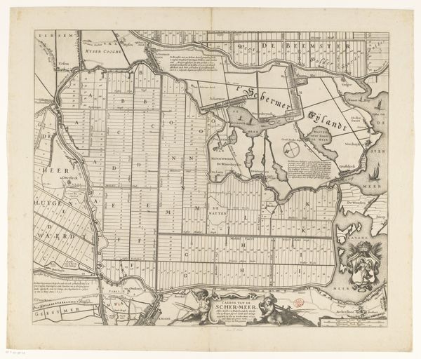
This is Abraham Allard's map of the district of Antwerp, part of the duchy of Brabant, made sometime between 1676 and 1725. It's an engraving, meaning that the image was cut into a metal plate, inked, and then printed onto paper. The fine lines and intricate details speak to the engraver's skill. Look closely, and you'll see how the varying thicknesses of the lines create a sense of depth and texture, delineating the landscape and its features. Cartography was a highly specialized craft at this time, essential for trade, military strategy, and asserting territorial claims. Consider the labor involved in producing this map: from surveying the land to meticulously cutting the image into the metal. Maps like these were not just representations of space, but also objects of power, reflecting the economic and political interests of their creators and consumers. They shaped how people understood the world and their place within it. So, as you look at this map, think about the relationship between the artistry of the engraver, the social context of its creation, and how such objects blurred the lines between art, craft, and commerce.
Comments
No comments
Be the first to comment and join the conversation on the ultimate creative platform.
More like this