1679 - 1803
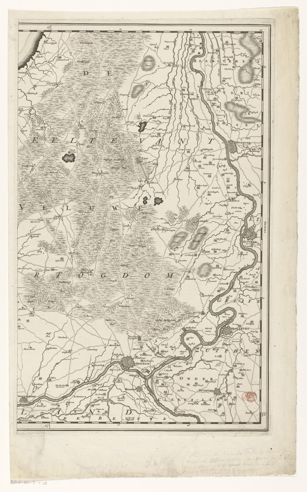
Kaart van de Veluwe
Listen to curator's interpretation
Curatorial notes
Luggert van Anse created this map of the Veluwe. Cartography during this time was deeply entwined with power, not merely about recording geography, but about laying claim to it. Consider the cultural and political landscape in which this map was made; it represents a world seen through a very particular lens. Whose perspective does this map privilege, and whose stories are left unmapped? What does it mean to draw these lines, to define these boundaries, and how do these acts of definition shape the identities of those within and outside of them? Reflect on how such a map might serve as a tool for control, influencing trade, military strategy, and even cultural narratives. It's a piece that asks us to consider the human element behind every representation, and to question the stories that maps—and all forms of art—implicitly tell.