graphic-art, print, engraving
#
graphic-art
#
baroque
# print
#
old engraving style
#
engraving
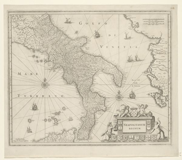
Dimensions: height 227 mm, width 335 mm
Copyright: Rijks Museum: Open Domain
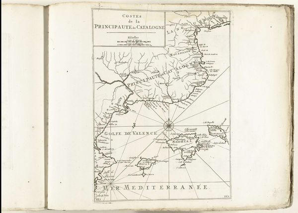
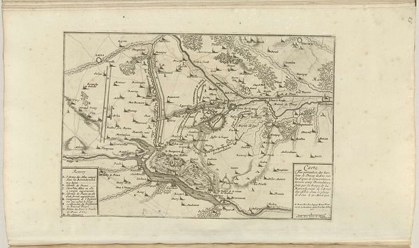
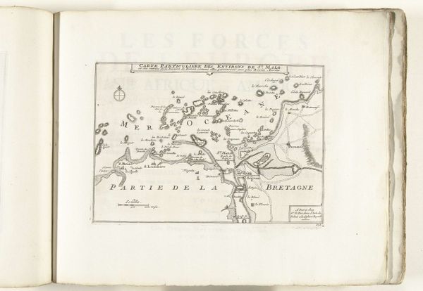
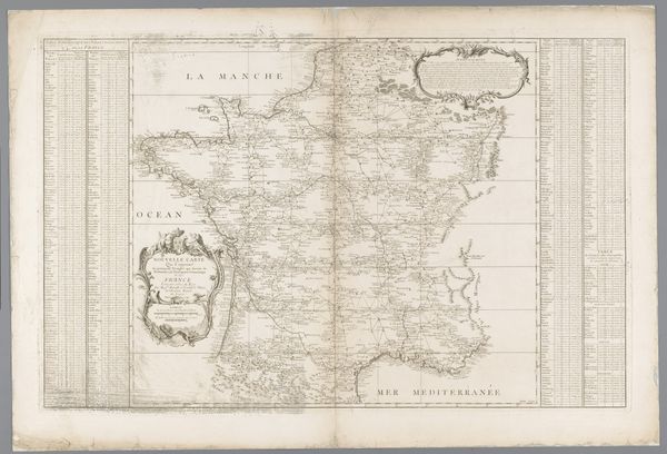
This is an anonymous map of the Kingdom of Naples, dating back to 1726. Created during an era of colonial expansion, the map served not only as a geographical tool but also as a projection of power and control. Reflecting the social and political dynamics of the 18th century, maps such as this were instruments of governance and dominance. They were used to define territories, administer resources, and enforce political boundaries, influencing trade and military strategy. The perspective offered here flattens lived experience into a set of data points which can be consumed, controlled, and deployed. In addition to its political implications, the map also reflects the era's scientific and intellectual fervor, as cartographers sought to accurately represent the world through empirical observation. The inclusion of Sardinia alongside Naples speaks to the interconnected histories and power dynamics that shaped the Mediterranean region. Consider how this map offers a view of the world filtered through the lenses of power, knowledge, and colonial ambition.
Comments
No comments
Be the first to comment and join the conversation on the ultimate creative platform.
More like this