1726
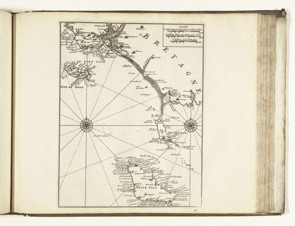
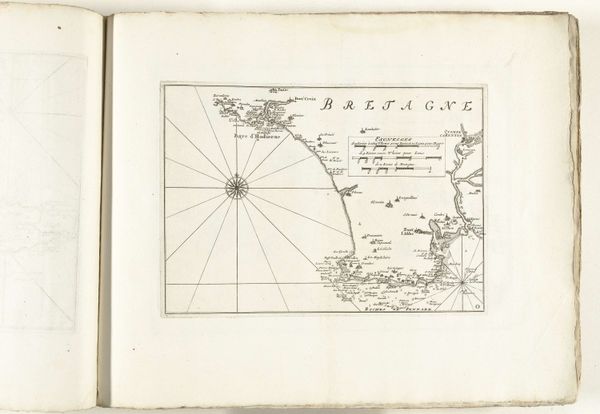
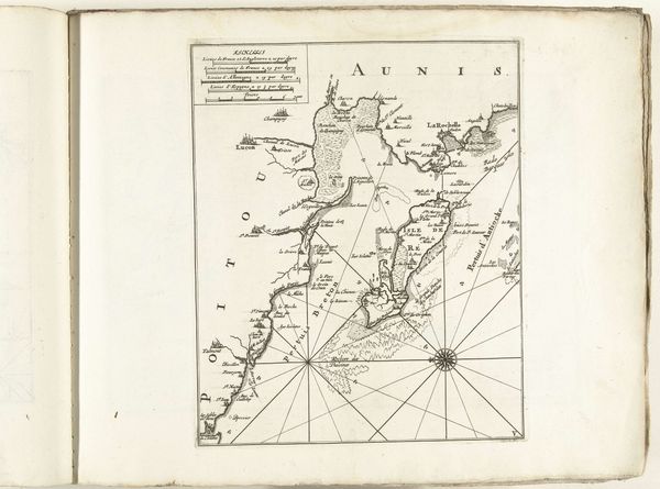
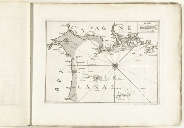
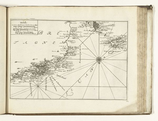
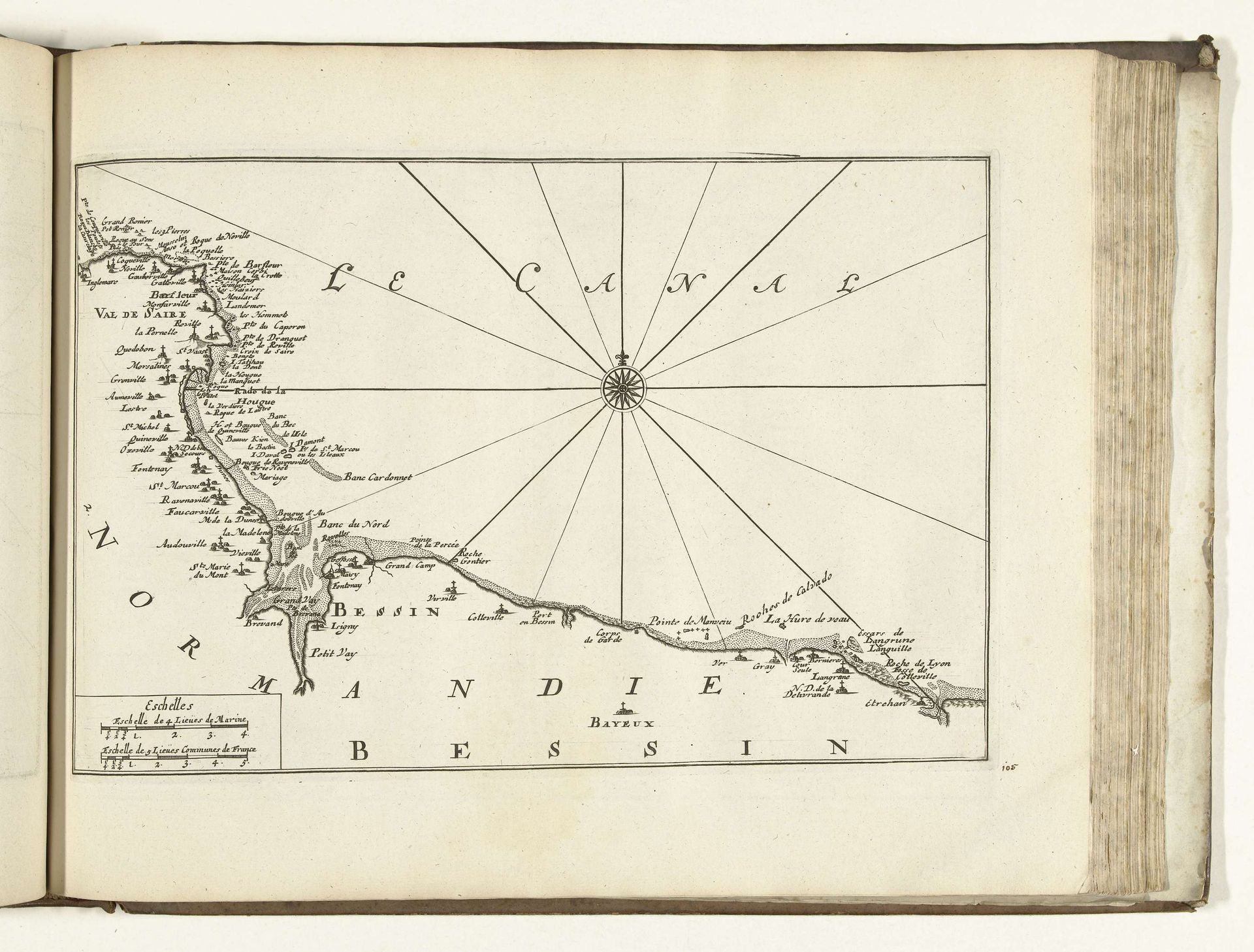
Kaart van de Franse kust tussen Barfleur en Bayeux, 1726
Anonymous
@anonymousLocation
RijksmuseumListen to curator's interpretation
Curatorial notes
Editor: So, here we have a map, titled "Kaart van de Franse kust tussen Barfleur en Bayeux, 1726," from an anonymous artist, held at the Rijksmuseum. It’s an engraved print and has a very stark, geometric quality. It makes me wonder about the function of map-making back then. What strikes you most about this piece? Curator: Considering the historical context, this isn't just a representation of geography; it's a product of labour and political power. Look at the fineness of the engraving – the skill, the time invested. Who was commissioning these maps, and what purpose did they serve beyond navigation? Was it simply a functional instrument for maritime use, or a tool of colonial domination? Editor: That's a good point, especially since it’s a map of the French coast made by an anonymous artist – we can’t really trace it back. You almost see the materials – the ink, paper, metal plates used for engraving – as historical artifacts in themselves. How might we read this object through its means of production? Curator: Exactly! Think about the engraver’s skill, compared to, say, a print made with inexpensive materials, or mass produced... What social class did the engraver belong to? Where would a print like this be circulated? The materials, the printing press itself: These all represent labor that’s not immediately evident. Was this particular map intended for a wealthy merchant, the navy, or public distribution? Editor: Right, thinking about where it would have been consumed – if it’s for military strategy, that changes our view. The value and prestige comes from something very different than decorative art. It shifts how you think about landscape art in general. Curator: Precisely. We understand artistic and social context by looking at the conditions of its production. I wonder how different the perception of the represented coastal territory looked to the various stakeholders, even down to the engraver and the consumer. Editor: That's made me rethink what a 'simple' map could represent! Thanks for drawing my attention to those broader ideas around artistic intention and dissemination.