1726
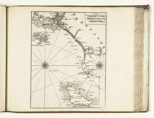
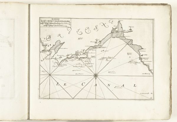
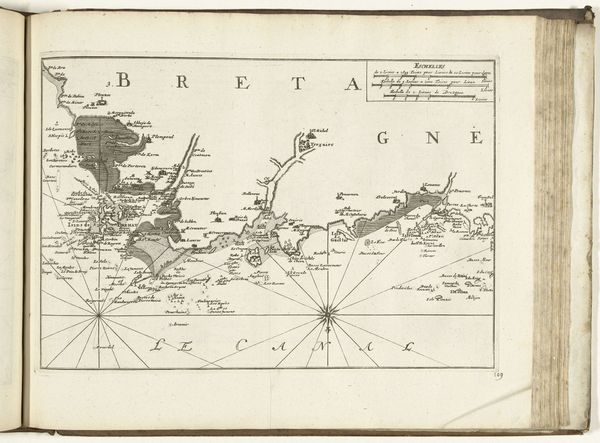
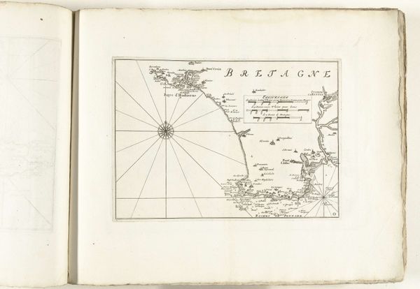
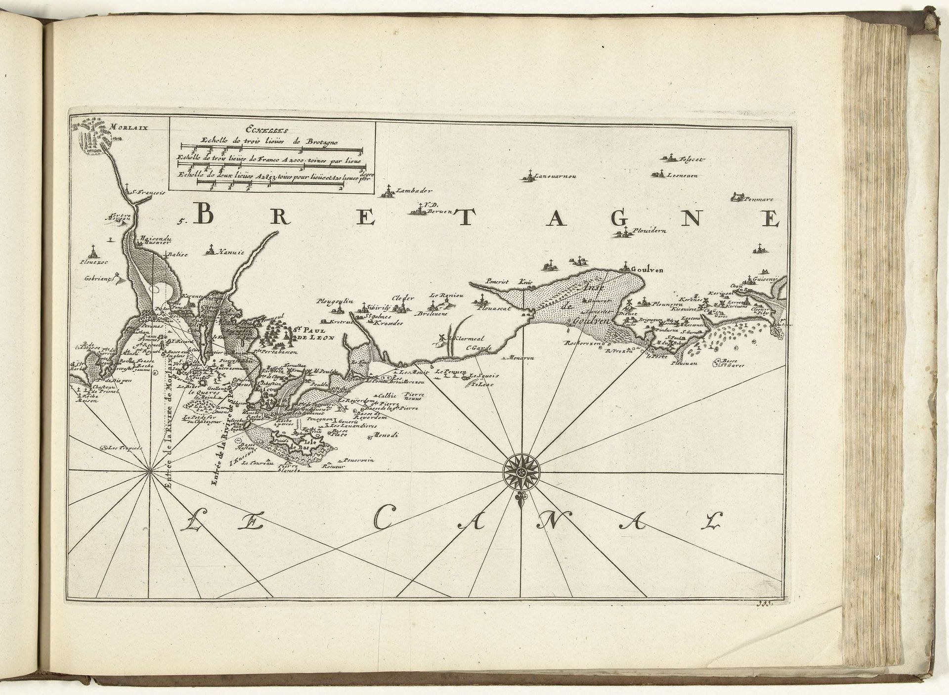
Kaart van de noordkust van Bretagne, 1726
Anonymous
@anonymousLocation
RijksmuseumListen to curator's interpretation
Curatorial notes
Curator: The image before us is a chart, titled "Kaart van de noordkust van Bretagne, 1726," placing us on the northern coast of Brittany, France, almost three centuries ago. It is an anonymous piece, realized through engraving and ink on paper, now held in the Rijksmuseum's collection. Editor: Immediately, it strikes me as a strangely compelling bird's-eye view. There's a sparseness to it that I find appealing. And I suppose the cartographer’s very particular sensibility shapes the world presented on this paper, rather like poetry distills experience. Curator: Precisely. Consider the compass rose, not merely a navigational tool, but a symbol in itself. Before the standardization we now expect, cartography was imbued with cosmological significance, suggesting order and divine intent amidst earthly navigation. The meticulous detailing of the coastline reflects the importance of maritime activity for the region and its people. Editor: It’s tempting to see it as a practical object divorced from subjective expression, and of course, at one level, that's true. Yet I feel a kind of wistful poetry in those renderings of the coast—and the stippling that indicates landscape suggests texture, almost begging to be touched. It makes me wonder about all the human activity that took place upon those shores back then...and, of course, still does. Curator: Absolutely. The style, influenced by the Baroque, brings attention to clarity and a certain precision. Notice how settlements and geographical features are meticulously labeled, each marking bearing coded information for mariners and administrators alike. Even now the nomenclature provides clues to a bygone era. Editor: Do you think they ever imagined, when they made it, that people like us would be standing here gazing at their careful depictions centuries later? In a way, the map is like a time capsule carrying little visual prompts that ignite stories. I guess, now that I look closely, there's a genre-painting influence at work, too? Or perhaps that's just my eyes finding figures. Curator: Intriguing thought. In some traditions, the sea itself, as it is charted on this print, becomes a container for all the mysteries and possibilities imaginable—a surface through which we understand not just geography, but ourselves. Editor: I like that interpretation. Now I really feel as if I'm peering not just at a map, but a mirror. Curator: Indeed. An artifact containing much more than latitude and longitude.