drawing, ink
#
drawing
#
baroque
#
pen sketch
#
ink
#
geometric
#
history-painting
Dimensions: height 238 mm, width 333 mm
Copyright: Rijks Museum: Open Domain
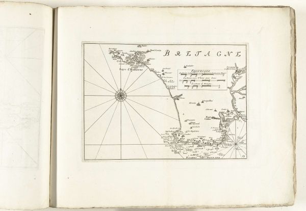
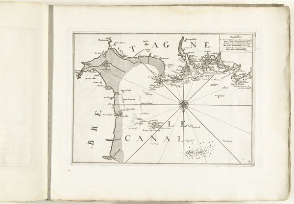
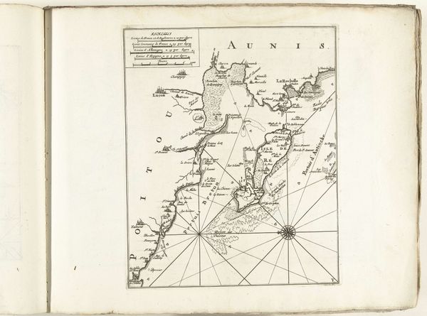
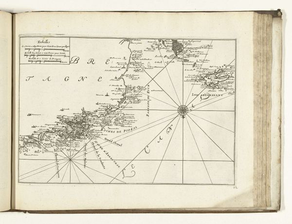
This map of the French coast near Saint-Brieuc was made around 1702 by an anonymous maker. It’s an engraving, which means the image was incised into a metal plate, probably copper, with tools called burins and scrapers. The plate was then inked and pressed onto paper, transferring the image. Consider the labor involved. This wasn't just a matter of technical skill, but intense concentration, requiring a deep understanding of perspective, cartography, and the conventions of maritime representation. Note the fineness of the lines and the density of information packed into a small space. The network of rhumb lines radiating from the compass rose indicates directions, and the map’s accuracy reflects the growing importance of navigation and trade in the 18th century. Engraving had long been associated with both artistic expression and the dissemination of information. By blurring these boundaries, prints like this offer valuable insights into the interconnected histories of art, craft, and commerce.
Comments
No comments
Be the first to comment and join the conversation on the ultimate creative platform.
More like this