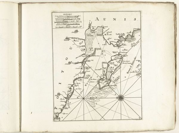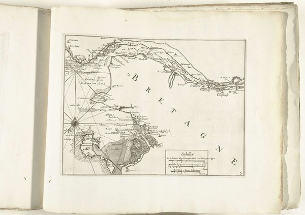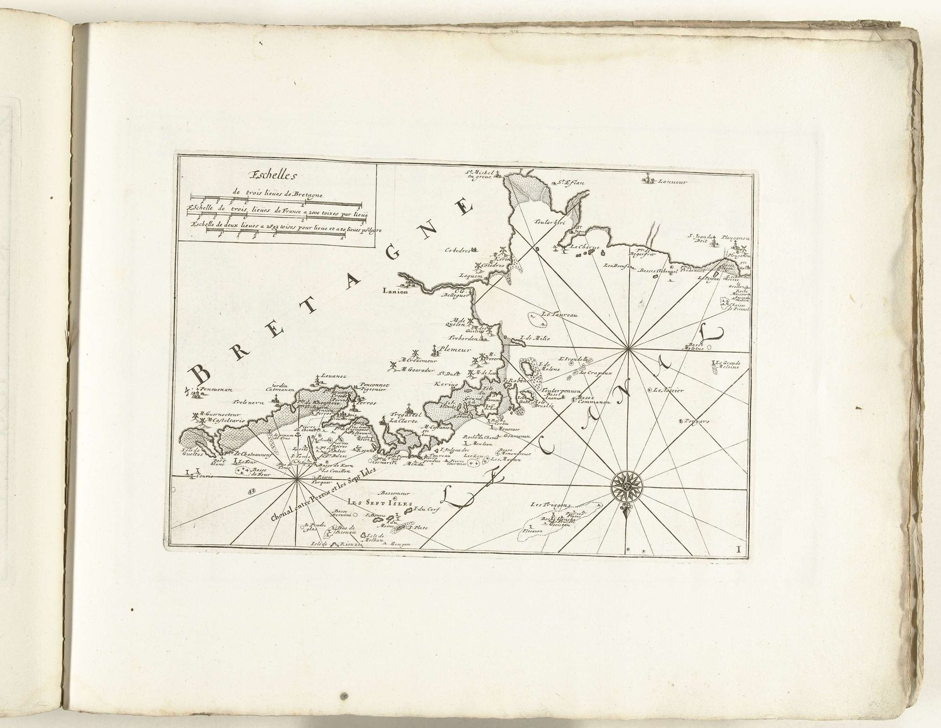
1702 - 1703
Kaart van de noordkust van Bretagne, ca. 1702
Anonymous
@anonymousLocation
RijksmuseumListen to curator's interpretation
Curatorial notes
This is a map of the north coast of Brittany, created around 1702. It is defined by the compass rose, which is a dominant symbol of navigation. The compass does not merely indicate direction; it's a convergence point of human intellect and nature's forces. Consider its evolution from rudimentary wind roses to the elaborate, multi-pointed stars we see in later maps. Like the ancient mariners who relied on the stars, the compass rose evokes a sense of reliance on cosmic order, subtly instilling confidence or a sense of control. The placement of the compass rose is also suggestive. Anchoring the lower part of the map, it is an anchor of sorts, and symbolizes a subconscious desire to orient ourselves. The act of mapping itself, of imposing order on the unknown, reflects the human mind's incessant quest for knowledge. This map is not just a guide; it is a projection of hope.