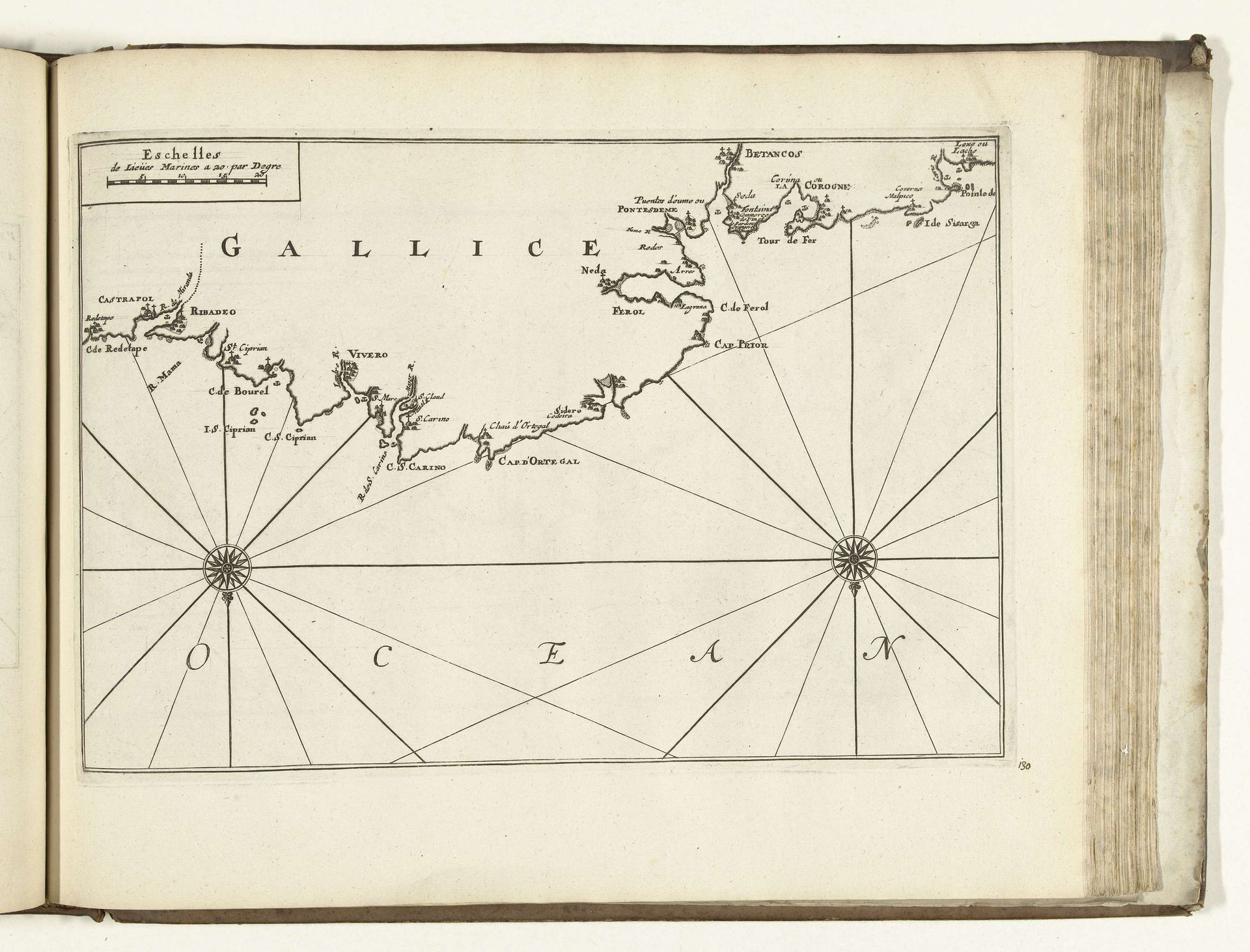
1726
Kaart van de noordkust van Galicië, 1726
Anonymous
@anonymousLocation
RijksmuseumListen to curator's interpretation
Curatorial notes
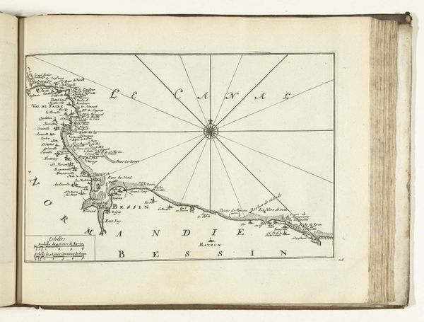
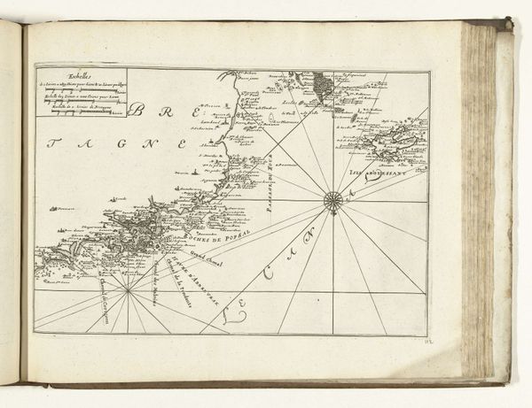
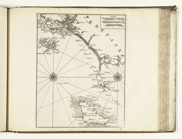
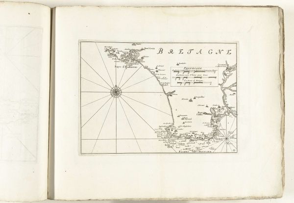
This is a map of the north coast of Galicia, made in 1726 by an anonymous artist. It offers insights into 18th-century European society and its relationship with cartography and maritime exploration. The map reflects the period's emphasis on scientific observation and documentation, driven by European powers keen to expand their trade routes and colonial reach. The inclusion of scales and detailed coastal features speaks to the practical needs of sailors and merchants. But maps are never neutral. They are made by institutions and serve political needs. The desire to represent and control territory is evident here, reflecting Spain’s imperial ambitions and maritime power. To fully understand this map, one might consult historical archives, maritime records, and studies of cartographic history. Maps like these played a role in shaping our understanding of the world, reflecting specific cultural, political, and institutional perspectives.