print, paper, engraving
# print
#
hand drawn type
#
paper
#
geometric
#
history-painting
#
engraving
Dimensions: height 595 mm, width 923 mm
Copyright: Rijks Museum: Open Domain
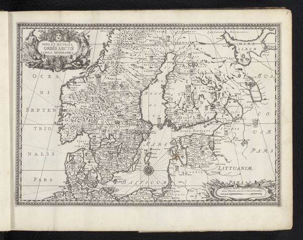
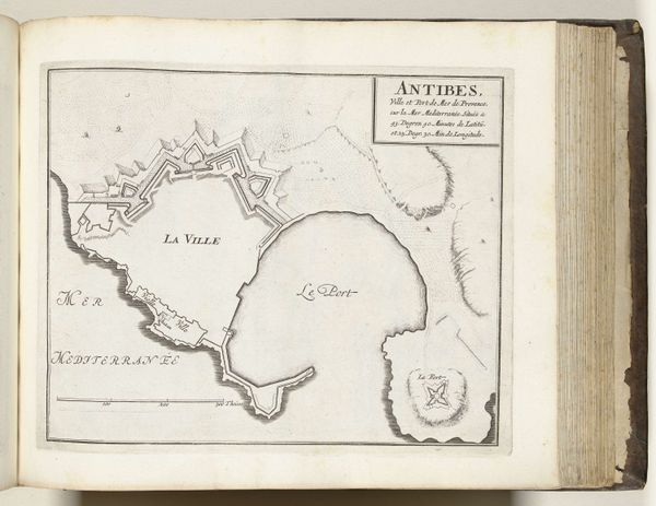
Editor: So, this is a 1744 print by G. Dheulland called "Kaart van Frankrijk met afstands- en gradentabellen" – a map of France with tables for distances and degrees. It's amazing how much information they packed in. What sort of symbols strike you in this image? Curator: Well, first off, the very idea of a map itself. It represents control, knowledge, and possession of the territory. Think of how maps, even today, dictate our understanding of borders, influence trade routes, and justify military campaigns. Dheulland’s work reinforces a specific view of French identity at a crucial moment. What details draw your eye? Editor: The tables on the sides, almost like lists of conquests or possessions. But there are also purely decorative flourishes in the cartouches that contain the title, which feels very ornamental and almost masks the practical purpose. Curator: Precisely. Consider how cartouches were commonly used to legitimize power. Embellishing the very framework holding the geographical data emphasizes that France, at this moment in time, wanted to not just be mapped, but visually, symbolically, celebrated and amplified through carefully composed ornamentation. Almost as a self-assigned reward. Now look at how the seas are presented versus the mainland... Editor: Oh, yes! The land has specific place names, all neatly labelled, while the water has those fanciful, stylized waves...a recognition of boundaries perhaps? France knew what it considered itself to be, yet beyond that lay chaos, symbolized by that "imprecise" water? Curator: Good question! Think of that symbolism not just as physical geography but also sociopolitical and cultural forces. Where do these elements converge in today's visual landscape, do you think? Editor: It's fascinating to consider how maps aren't just about location, but about conveying a whole value system. I hadn’t quite appreciated that aspect of them before. Curator: Indeed. Every element contributes to that layered symbolism, a potent mix of objective data and subjective interpretation. I will never look at another map the same way!
Comments
No comments
Be the first to comment and join the conversation on the ultimate creative platform.
More like this