1697 - 1721
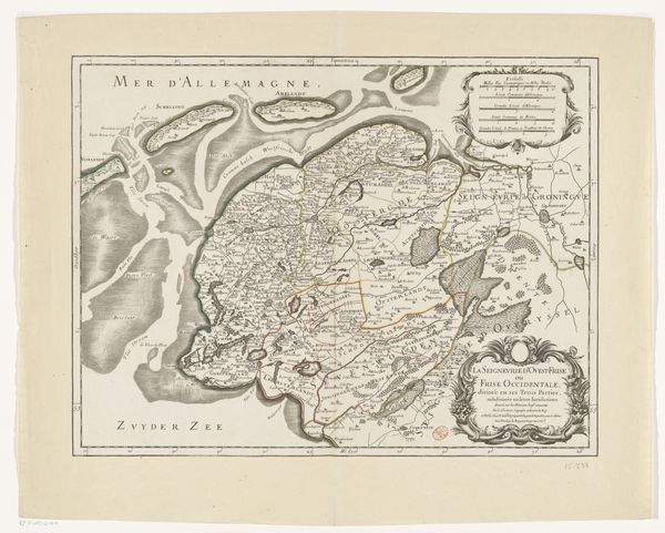
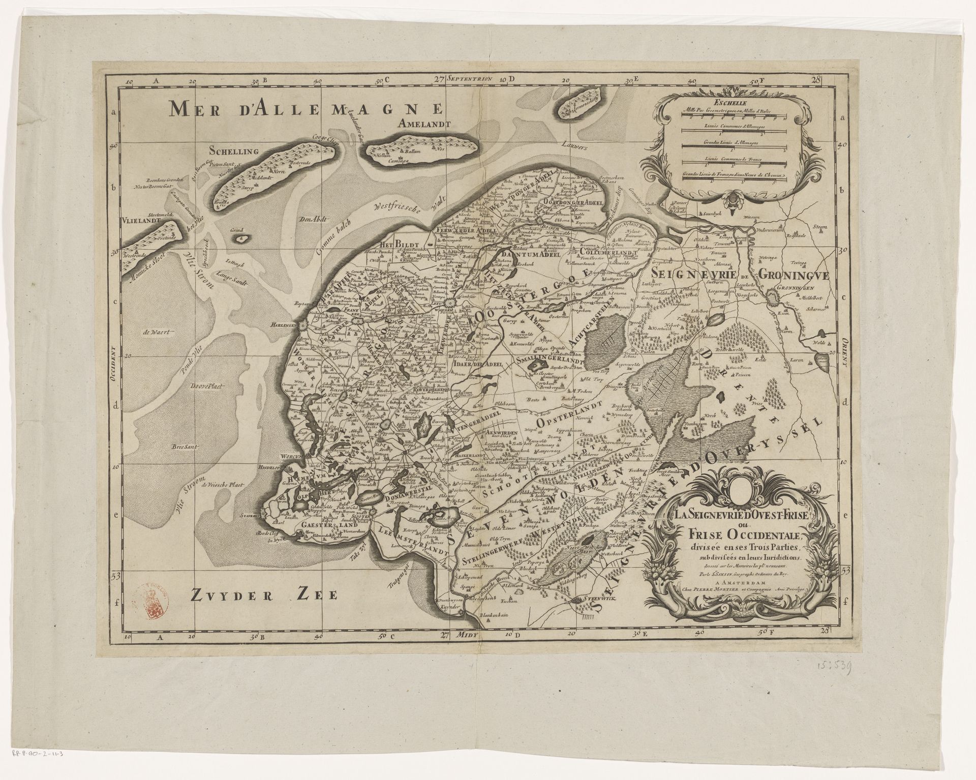
Kaart van Friesland en een deel van Groningen, Drenthe en Overijssel
Pieter (I) Mortier
1661 - 1711Location
RijksmuseumCuratorial notes
Pieter Mortier created this map of Friesland and parts of Groningen, Drenthe, and Overijssel, using engraving techniques. Dominant visual symbols include the depiction of land and water, which represent not just physical spaces, but also humanity's relationship to its environment. Notice how the presentation of geographical information connects to ancient cartographic traditions, echoing maps from antiquity that also served to impose order on the world. The sea, labeled “Mer d’Allemagne,” is a recurring motif, an emblem of both opportunity and peril. It's a primordial symbol that surfaces in countless mythologies as the origin of life. Reflect on how the act of mapping itself transforms the unknown into the known. It’s a human urge to delineate, to understand and control our surroundings, reminiscent of the earliest cave paintings that marked territories. This urge persists, manifesting differently across cultures, yet driven by the same primal needs.