drawing, print, ink, engraving
#
drawing
#
aged paper
#
medieval
# print
#
ink
#
geometric
#
engraving
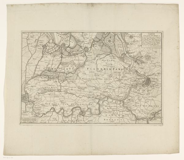
Dimensions: height 238 mm, width 319 mm
Copyright: Rijks Museum: Open Domain
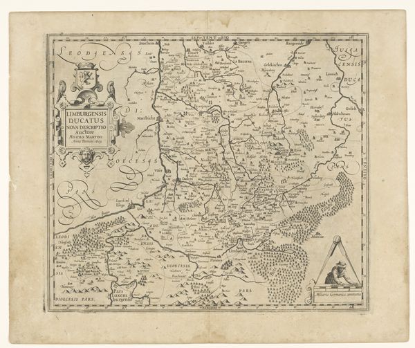
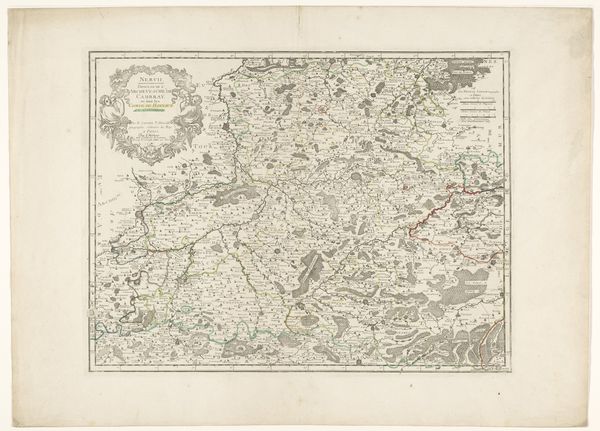
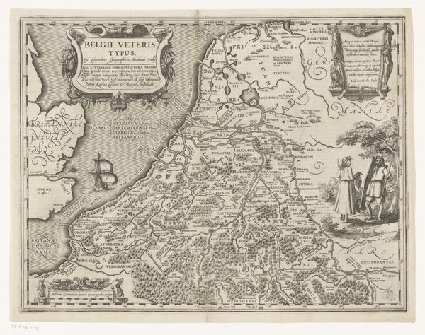
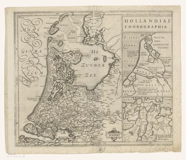
This is a map of the County of Artois, made by Joannes van Doetechum around 1600 using engraving. Maps were not just geographical tools, they were potent symbols of power, knowledge, and territorial ambition in the early modern period. Created in the Netherlands, this map reflects the burgeoning print culture and scientific curiosity of the Dutch Golden Age. Artois, located in present-day France, was a region of strategic importance, often contested between major European powers. Notice how the map meticulously delineates towns, rivers, and forests. It is a testament to the growing importance of cartography in governance and warfare. Details of this kind required new forms of surveying and documentation. By studying maps such as this, alongside archival documents and historical accounts, we can unpack the complex interplay of politics, science, and art in shaping our understanding of the world. The Rijksmuseum's collection provides invaluable resources for such exploration.
Comments
No comments
Be the first to comment and join the conversation on the ultimate creative platform.
More like this