1706
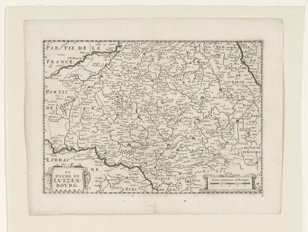
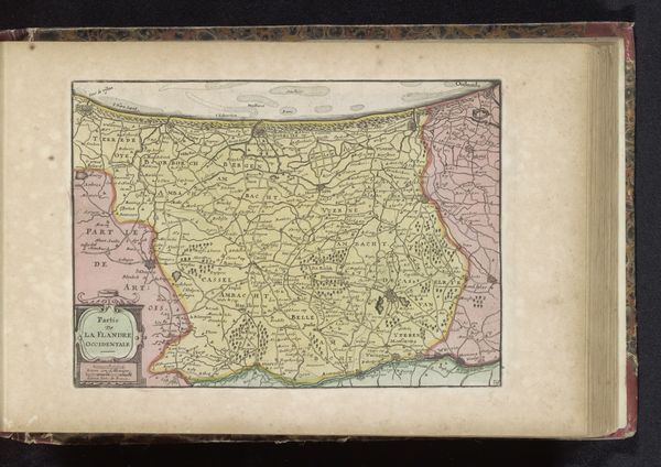
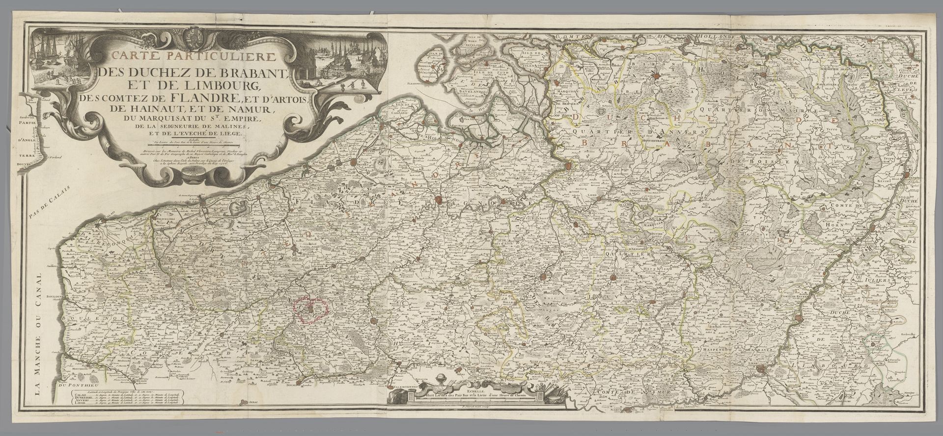
Kaart van de hertogdommen Brabant en Limburg en van de graafschappen Vlaanderen, Artesië, Henegouwen en Namen
Listen to curator's interpretation
Curatorial notes
P. Starckman created this map of the duchies of Brabant and Limburg and the counties of Flanders, Artois, Hainaut, and Namur to reflect a very specific socio-political landscape. The very act of mapping is an act of claiming, organizing, and controlling territory. This map reflects the complex and often fraught relationships between these regions, each with its own distinct history and cultural identity. These territories were often battlegrounds for European powers. The people who lived here experienced shifting allegiances, cultural exchanges, and the ever-present threat of conflict. Consider how maps like this can be tools of power, shaping not only geographical understanding but also influencing identities and political realities. Think about the stories and experiences of the people who lived in these regions.