About this artwork
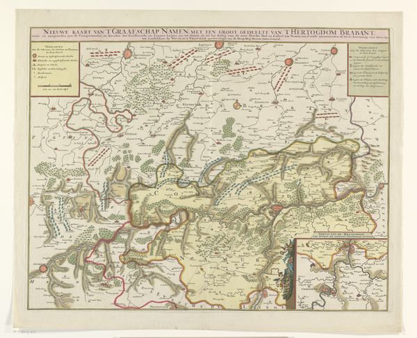
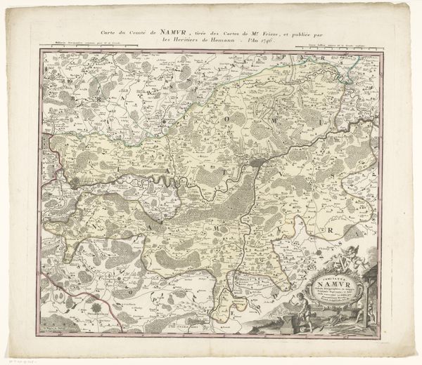
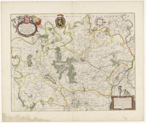
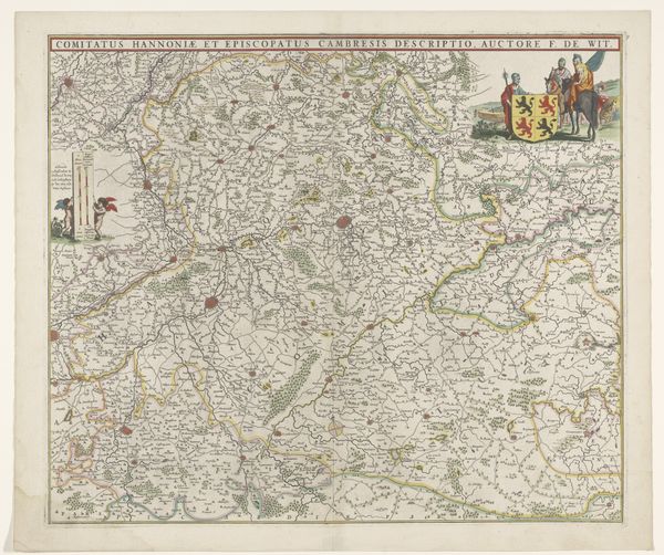
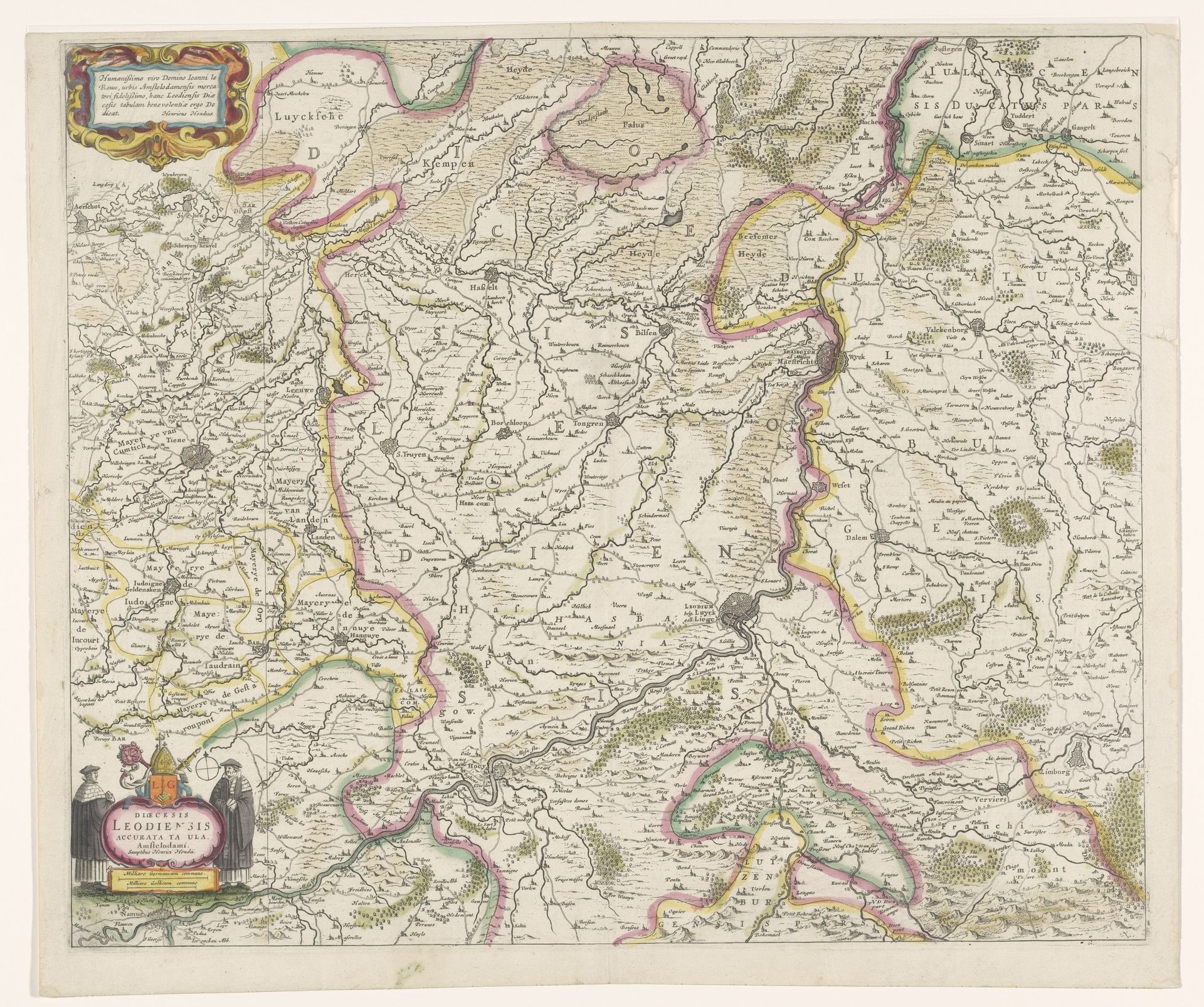
This is an anonymous map of the Prince-Bishopric of Liège. The historical and cultural context of this map is rooted in the complex geopolitical landscape of early modern Europe. Liège, as a Prince-Bishopric, was a unique entity, a theocratic state within the Holy Roman Empire. This map then, is not just a geographical document, but a statement of power, delineating the boundaries of a territory governed by a Prince-Bishop. It invites us to consider questions of identity, authority, and belonging. Who did this map serve? How did it shape the perception of the Prince-Bishopric, both internally and in relation to its neighbors? Its careful depiction of towns, rivers, and borders speaks to the Prince-Bishopric's desire for recognition and legitimacy amidst larger political entities. It is a reminder that maps are not neutral representations, they reflect the values, ambitions, and anxieties of those who create and use them.
Artwork details
- Medium
- print, engraving
- Dimensions
- height 461 mm, width 545 mm
- Location
- Rijksmuseum
- Copyright
- Rijks Museum: Open Domain
Tags
Comments
Share your thoughts
About this artwork
This is an anonymous map of the Prince-Bishopric of Liège. The historical and cultural context of this map is rooted in the complex geopolitical landscape of early modern Europe. Liège, as a Prince-Bishopric, was a unique entity, a theocratic state within the Holy Roman Empire. This map then, is not just a geographical document, but a statement of power, delineating the boundaries of a territory governed by a Prince-Bishop. It invites us to consider questions of identity, authority, and belonging. Who did this map serve? How did it shape the perception of the Prince-Bishopric, both internally and in relation to its neighbors? Its careful depiction of towns, rivers, and borders speaks to the Prince-Bishopric's desire for recognition and legitimacy amidst larger political entities. It is a reminder that maps are not neutral representations, they reflect the values, ambitions, and anxieties of those who create and use them.
Comments
Share your thoughts