graphic-art, print, paper, engraving
#
graphic-art
#
aged paper
# print
#
pen sketch
#
old engraving style
#
landscape
#
paper
#
personal sketchbook
#
pen-ink sketch
#
pen and pencil
#
pen work
#
sketchbook drawing
#
history-painting
#
sketchbook art
#
engraving
#
intricate and detailed
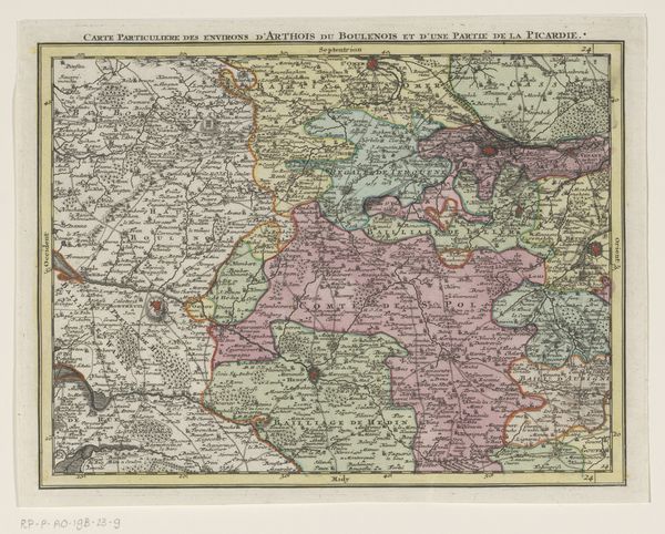
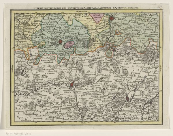
Dimensions: height 203 mm, width 265 mm
Copyright: Rijks Museum: Open Domain
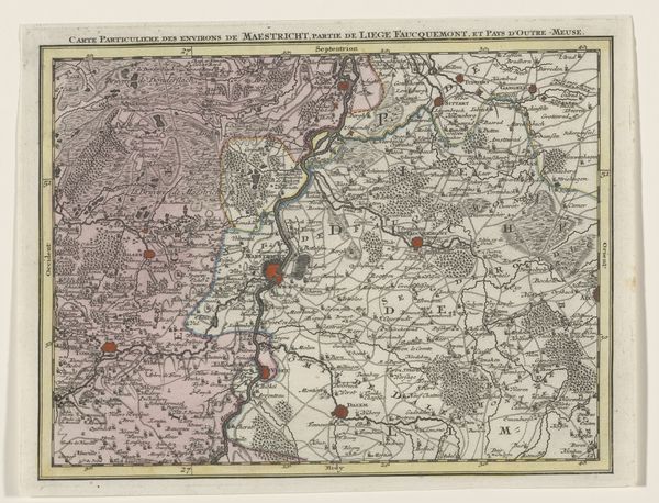
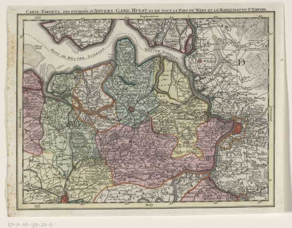
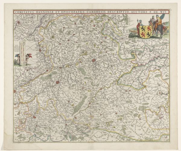
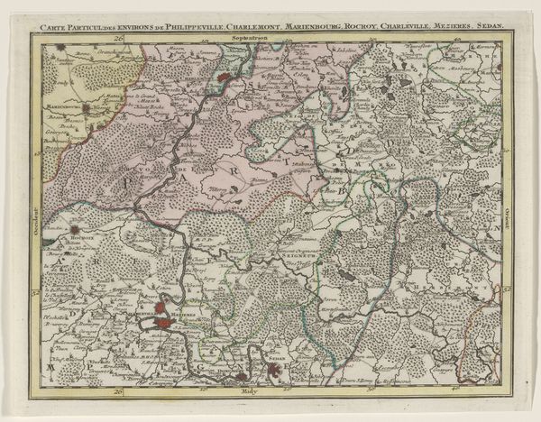
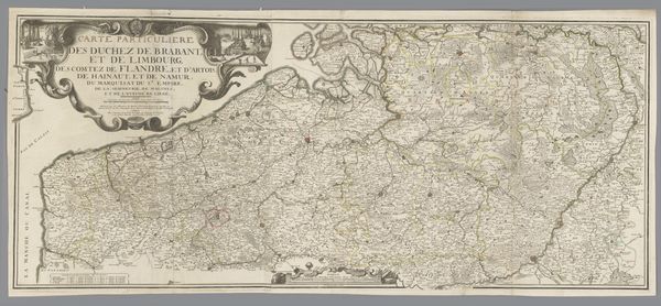
Tobias Conrad Lotter created this map of the Austrian Netherlands in the 18th century. During this time, mapmaking was not just a scientific endeavor, but also a political act. Maps defined territories, asserted power, and shaped identities. Consider for a moment how this map served the interests of the Austrian Empire by visually laying claim to the region. What does it mean to survey and document a space? Who gets included, and who is left out? Notice how the detailed rendering of towns and waterways provides a sense of order and control. Yet, this representation flattens the lived experiences of the people who inhabited this land. As you gaze at this artifact, reflect on the power dynamics inherent in its creation, and the complex ways in which maps both reflect and shape our understanding of the world.
Comments
No comments
Be the first to comment and join the conversation on the ultimate creative platform.
More like this