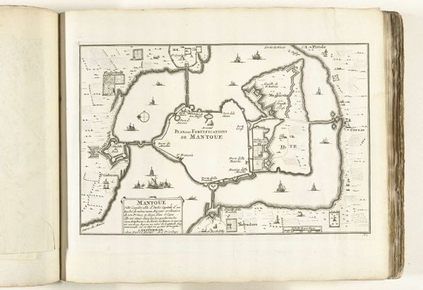
drawing, print, ink, engraving
#
drawing
#
baroque
# print
#
pen illustration
#
pen sketch
#
old engraving style
#
landscape
#
ink
#
geometric
#
engraving
Dimensions: height 141 mm, width 210 mm
Copyright: Rijks Museum: Open Domain
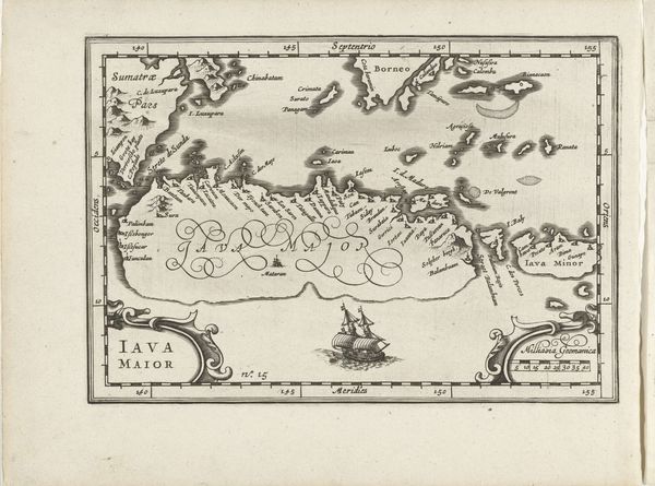
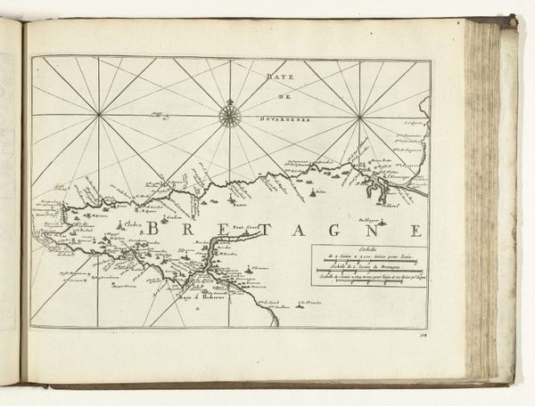
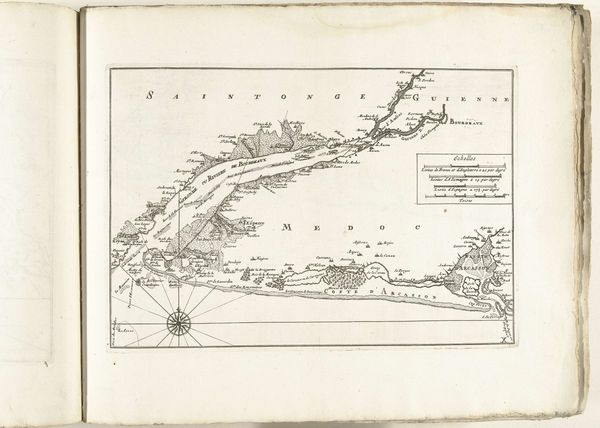
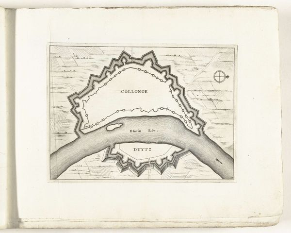
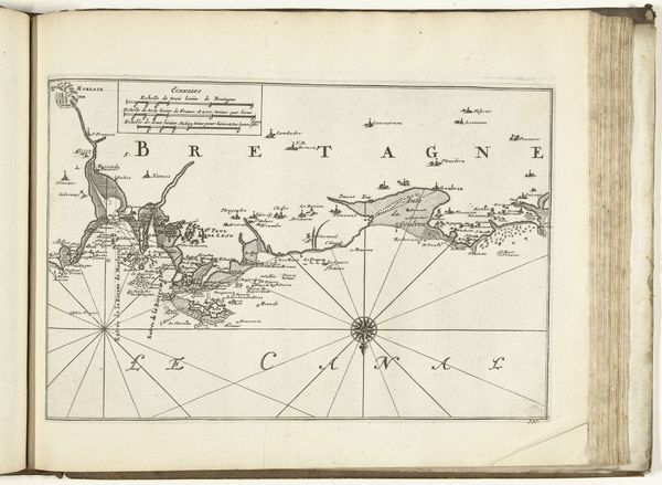
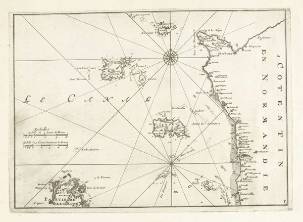
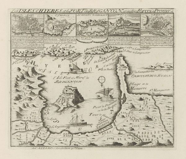
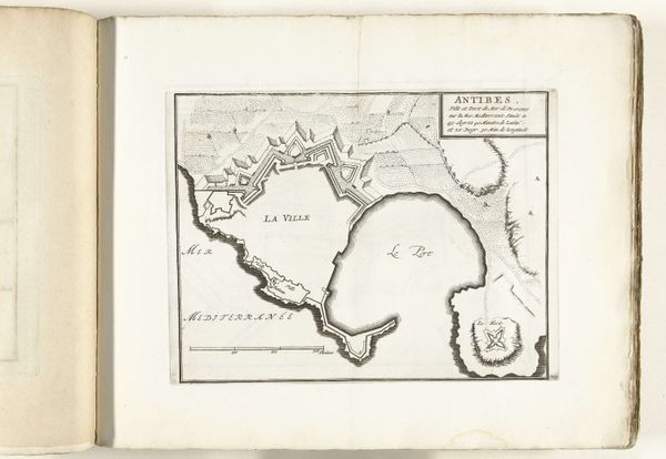
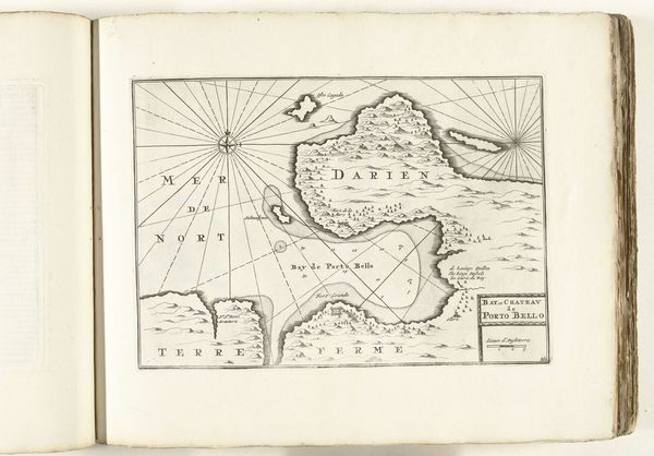
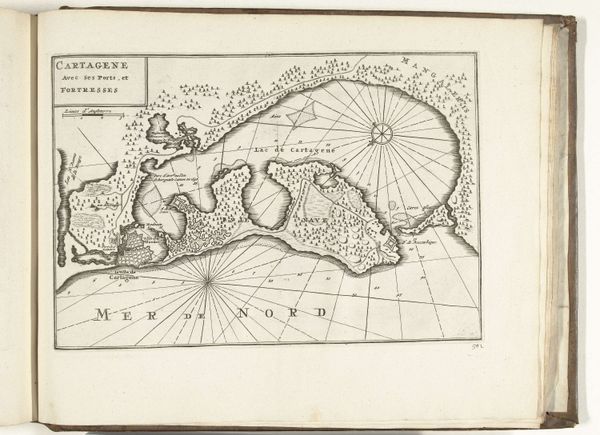
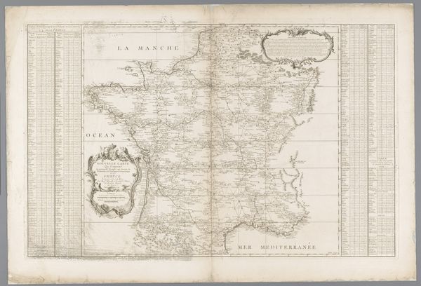
Editor: Here we have Jacob Peeters' "Map of the Island of Corfu," created around 1690 using ink and engraving. It has such a clean, precise style for being so old. How should we approach interpreting this piece? Curator: This map isn't just a geographical document; it's a product of its time, deeply entwined with colonialism and power dynamics. Consider: who commissioned it, and for what purpose? Was it meant to facilitate trade, military campaigns, or simply assert dominance over the region? Editor: That makes sense. So it’s more than just a helpful navigational tool. Curator: Precisely. The very act of mapping is an act of claiming space, imposing a European gaze on Corfu. Look at the way the landscape is depicted – are these accurate representations, or romanticized versions serving a particular narrative? Editor: Now that you mention it, the rendering of the mountains feels somewhat... stylized. Not quite like what you’d see in a photograph. Curator: And how does this relate to broader colonial projects of the era? Corfu's strategic importance in the Mediterranean made it a coveted prize for various empires. This map becomes a symbol of that struggle. Editor: So, we should analyze it considering its role in representing and reinforcing colonial power. It makes me rethink maps and how they frame our view of places and people. Curator: Exactly! Examining these historical power structures encourages us to reflect on our own contemporary biases. Thank you!
Comments
No comments
Be the first to comment and join the conversation on the ultimate creative platform.
