About this artwork
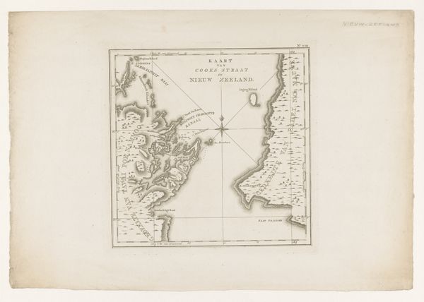
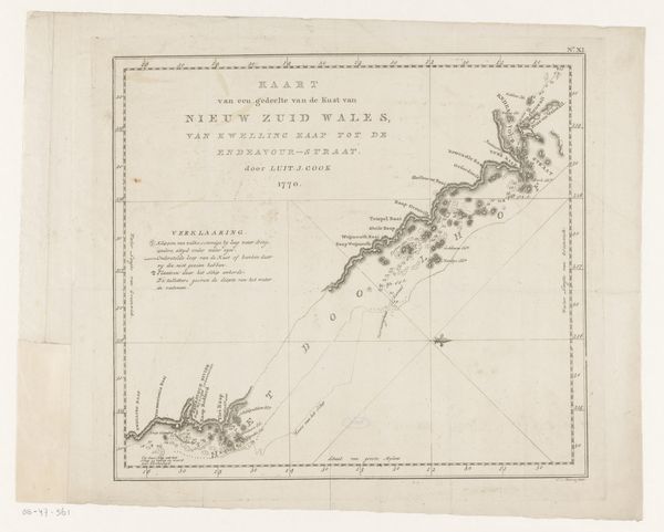
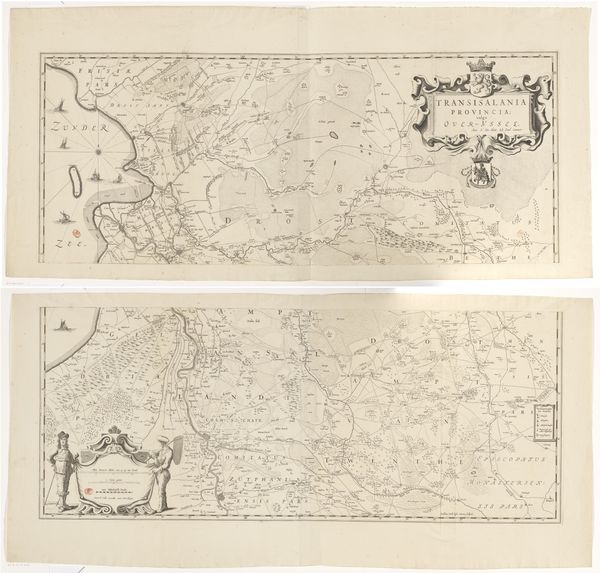
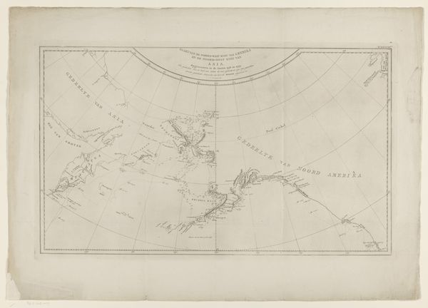
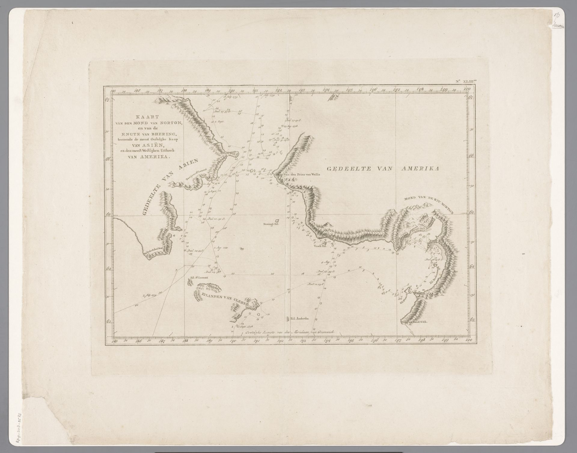
This map of the Norton Sound and Bering Strait was made anonymously, likely in the 18th or 19th century, through a process of engraving. The technique involves incising lines onto a metal plate, applying ink, and then pressing paper against the plate to transfer the image. The fine lines and details suggest a skilled hand, working meticulously to render the coastlines, depths, and geographical markers. The stark contrast between the ink and paper, along with the precise, almost clinical quality of the linework, reflects the emerging scientific approach to cartography during this period. Maps like these weren't just about geography; they were tools of empire. They represent the urge to chart, claim, and control distant lands, playing a crucial role in trade, navigation, and colonial expansion. Consider the labor and resources poured into these projects, and their social impact – the map embodies the complex relationship between exploration, knowledge, and power.
Artwork details
- Medium
- drawing, graphic-art, print, paper, ink, engraving
- Dimensions
- height 325 mm, width 410 mm
- Copyright
- Rijks Museum: Open Domain
Tags
Comments
Share your thoughts
About this artwork
This map of the Norton Sound and Bering Strait was made anonymously, likely in the 18th or 19th century, through a process of engraving. The technique involves incising lines onto a metal plate, applying ink, and then pressing paper against the plate to transfer the image. The fine lines and details suggest a skilled hand, working meticulously to render the coastlines, depths, and geographical markers. The stark contrast between the ink and paper, along with the precise, almost clinical quality of the linework, reflects the emerging scientific approach to cartography during this period. Maps like these weren't just about geography; they were tools of empire. They represent the urge to chart, claim, and control distant lands, playing a crucial role in trade, navigation, and colonial expansion. Consider the labor and resources poured into these projects, and their social impact – the map embodies the complex relationship between exploration, knowledge, and power.
Comments
Share your thoughts