print, engraving
#
dutch-golden-age
# print
#
pen sketch
#
geometric
#
engraving
Dimensions: height 867 mm, width 1063 mm
Copyright: Rijks Museum: Open Domain
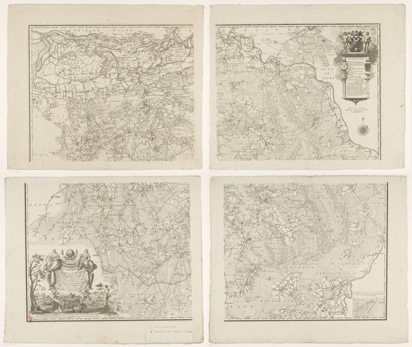
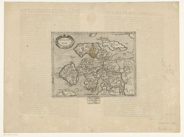
Gerard Coeck’s map of Overijssel presents us with a duality. Executed in two parts, this historical document lays out the 17th-century province with a dispassionate, almost clinical precision. The stark linearity of the landscape is softened by the intricate detailing, creating a fascinating interplay between form and function. The delicate lines indicating waterways and territorial boundaries are more than cartographical data; they delineate power and ownership. Note how the composition divides the province, perhaps mirroring the social or political divisions of the time. Coeck's work can be seen as an early form of semiotic encoding, where the map functions as a text. Each symbol—towns, rivers, forests—is a signifier, and the map itself is a system of signs that communicate specific information about the territory and its resources. What Coeck presents is not merely a reflection of geographical reality, but a structured representation that embodies contemporary modes of seeing and knowing. It is a reminder that even seemingly objective representations are imbued with cultural and ideological frameworks, inviting ongoing interpretation and re-evaluation.
Comments
No comments
Be the first to comment and join the conversation on the ultimate creative platform.
More like this