graphic-art, print, paper, engraving
#
graphic-art
# print
#
paper
#
13_16th-century
#
northern-renaissance
#
engraving
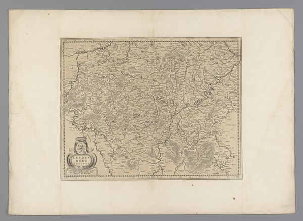
Dimensions: height 149 mm, width 195 mm
Copyright: Rijks Museum: Open Domain
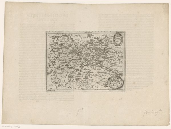
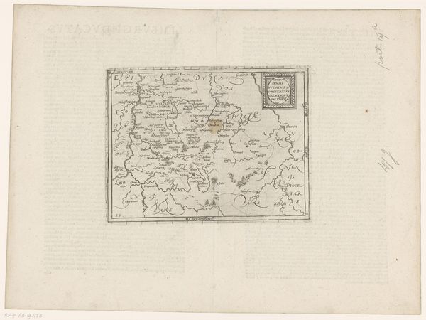
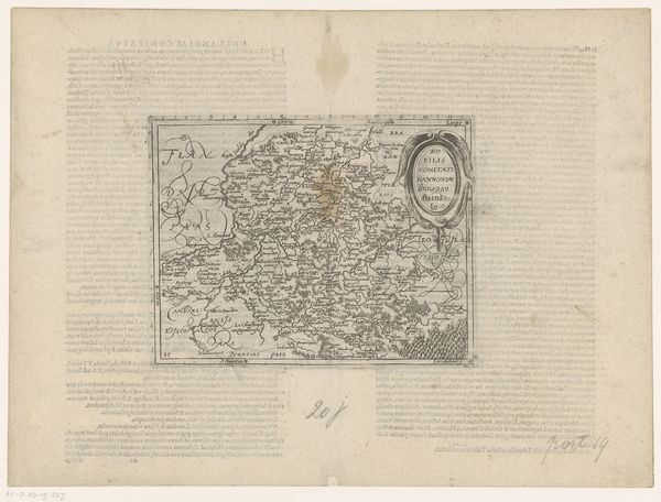
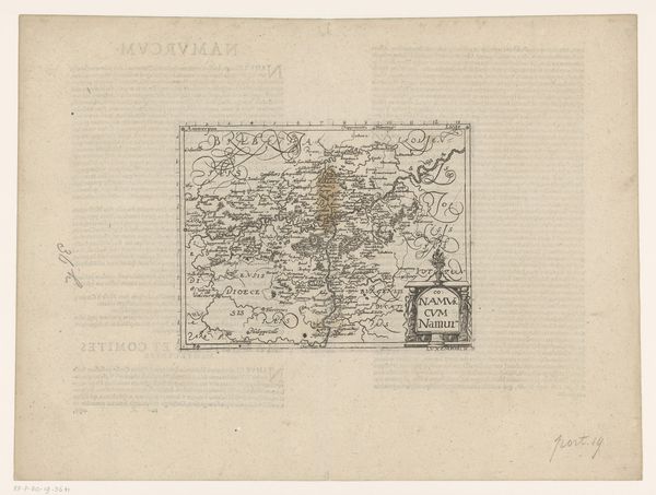
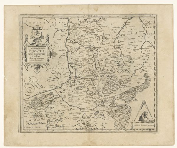
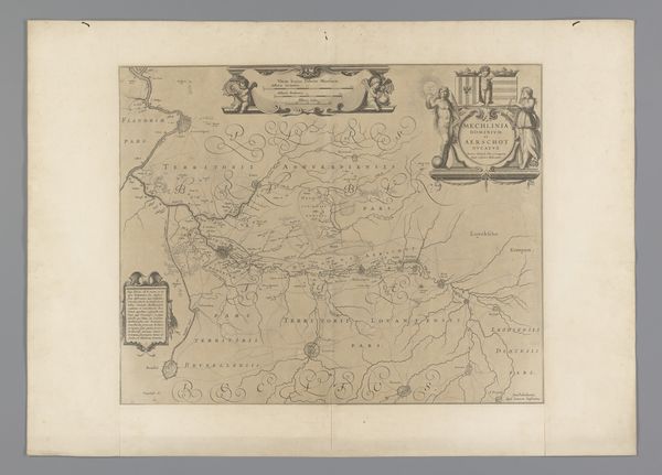
This map of the Duchy of Luxembourg was made by Frans Hogenberg around 1570, using etching and engraving. The fine lines were first incised into a metal plate, likely copper, with a sharp tool called a burin. The plate was then inked, and the surface wiped clean, leaving ink only in the engraved lines. Finally, paper was pressed against the plate, transferring the image. The material properties of the copper plate allowed for incredible detail. Look at how Hogenberg captured the varying textures of the landscape, from the dense forests to the rolling hills. This wasn't just about geographical accuracy; it was about conveying the character of the land. Consider the labor involved. Each line, each tiny village name, painstakingly etched by hand. In a time before mass production, such a map would have been a valuable commodity, reflecting the growing importance of trade, navigation and military strategy in European society. It blurs the line between art, craft, and commerce.
Comments
No comments
Be the first to comment and join the conversation on the ultimate creative platform.
More like this