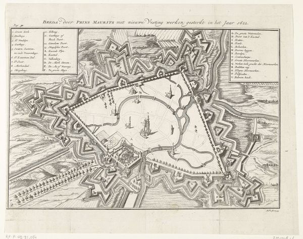
drawing, print, etching, paper, ink
#
drawing
#
dutch-golden-age
# print
#
pen sketch
#
etching
#
landscape
#
paper
#
ink
#
geometric
#
cityscape
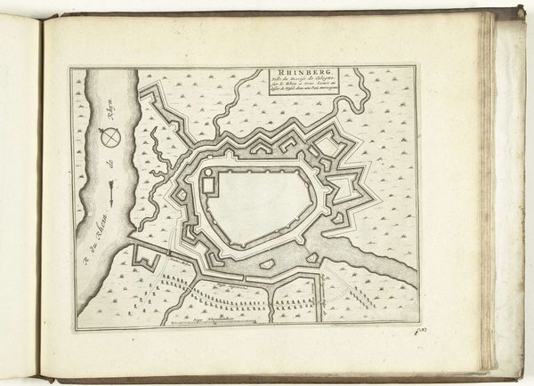
Dimensions: height 504 mm, width 630 mm
Copyright: Rijks Museum: Open Domain
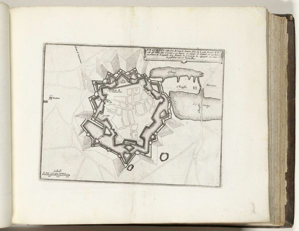
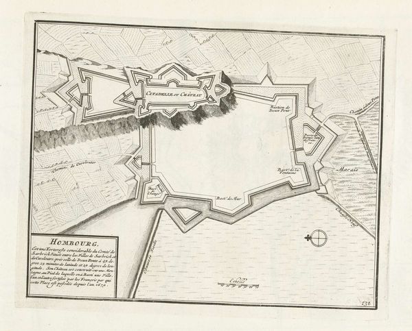
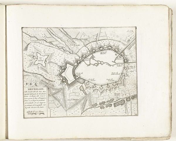
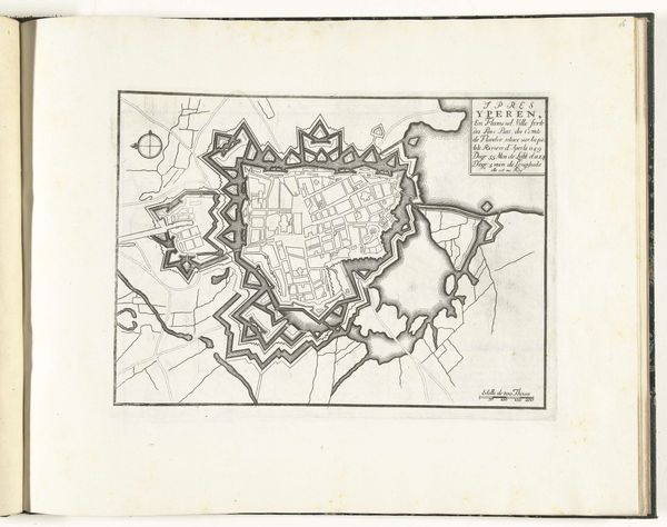
This is an anonymous map of Rijnberg, created in 1633. Executed with fine lines and tonal precision, the plan’s organization is dominated by geometric shapes in which sharp angles and extended perimeters, especially of the fortress, command the view. The fortress, a semiotic emblem of power and control, challenges one’s perception of space and representation. The cartographer employs signs and codes, inviting the viewer into a world of strategic planning. The composition reveals more than a geographical layout. It presents a structured vision of territorial claim. The river, marked with its name flowing along its curve, creates a contrast against the fortress, highlighting a discourse between nature and constructed space. This map functions not just as a document but as a constructed narrative, where lines, shapes, and negative space come together to articulate power, order, and a very specific interpretation of the cultural landscape. It’s a reminder that every visual representation is subjective and open to continuous interpretation.
Comments
No comments
Be the first to comment and join the conversation on the ultimate creative platform.
More like this