print, engraving
#
baroque
#
dutch-golden-age
# print
#
pen sketch
#
old engraving style
#
ink drawing experimentation
#
cityscape
#
history-painting
#
engraving
Dimensions: height 393 mm, width 491 mm
Copyright: Rijks Museum: Open Domain
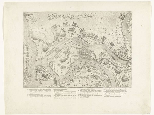
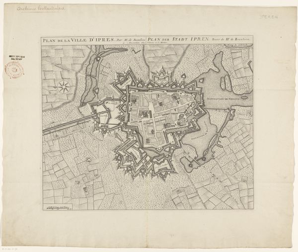
Louis de Bersaques created this print, Plattegrond van Menen, at an unknown date using an engraving technique. This detailed map of Menen offers a glimpse into the 17th century, a period marked by political and religious conflict in Europe. As we examine this map, consider the function of cartography at this time. Maps were not merely tools for navigation. They were instruments of power. They defined territories and asserted control. Menen, situated near the border of France, was a strategic military location, and as such, its representation holds political significance. Notice the city's fortifications. These features remind us of the ever-present threat of war and siege. The river, while a source of life, also acts as a natural boundary, shaping the city’s layout and defensive strategy. Reflect on how such physical and political structures would shape the lives of Menen’s inhabitants. How did these boundaries define their identities and experiences? This map invites us to consider how places, whether cities or nations, are not just geographical entities. They are complex intersections of history, power, and human experience.
Comments
No comments
Be the first to comment and join the conversation on the ultimate creative platform.
More like this