drawing, print, ink, engraving
#
drawing
#
baroque
#
pen drawing
#
mechanical pen drawing
# print
#
pen illustration
#
pen sketch
#
personal sketchbook
#
ink
#
ink drawing experimentation
#
pen-ink sketch
#
pen work
#
sketchbook drawing
#
cityscape
#
sketchbook art
#
engraving
Dimensions: height 203 mm, width 278 mm
Copyright: Rijks Museum: Open Domain
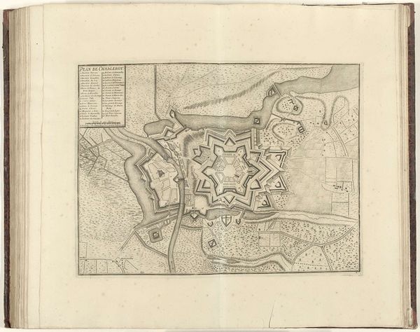
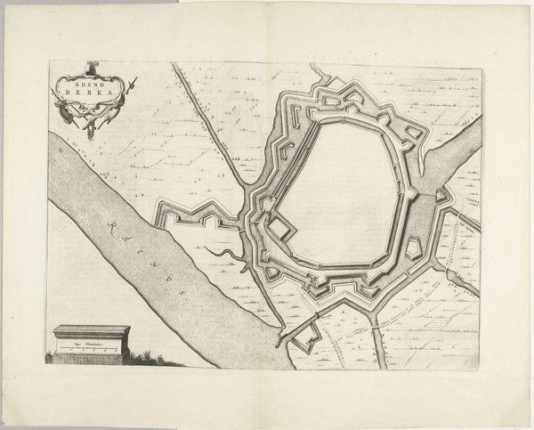
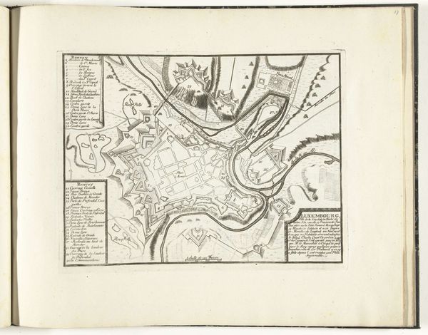
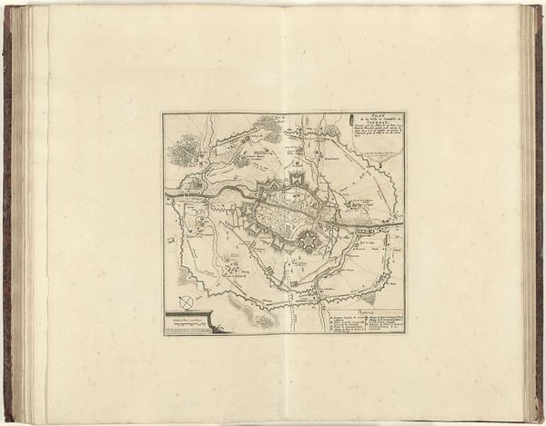
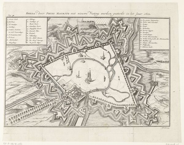
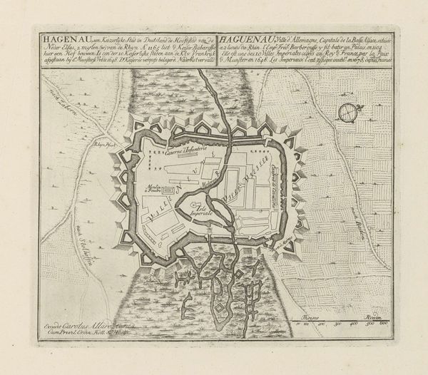
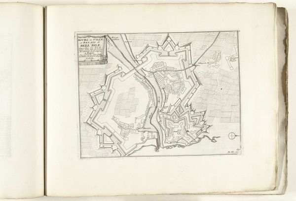
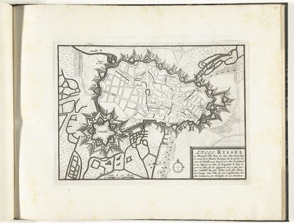
Around 1693-1696, an anonymous artist created this print titled "Plattegrond van Yperen." It is a detailed map of the city of Ypres, now in Belgium, offering a glimpse into its historical and cultural context during the late 17th century. Ypres, located in Flanders, endured many sieges. The star-shaped fortifications in the map reveal a society living in a state of near-constant military readiness. Looking at this map today, one can only imagine the anxiety of living in a city so directly shaped by the ever-present threat of war. This map presents more than just geographic data; it is a potent symbol of power, control, and the lived experiences of those within its walls. It serves as a reminder of the complex interplay between military strategy, urban development, and human lives in the early modern period.
Comments
No comments
Be the first to comment and join the conversation on the ultimate creative platform.
More like this