drawing, print, ink
#
drawing
#
toned paper
#
baroque
# print
#
pen sketch
#
sketch book
#
personal sketchbook
#
ink
#
geometric
#
pen-ink sketch
#
pen and pencil
#
pen work
#
sketchbook drawing
#
cityscape
#
watercolour illustration
#
sketchbook art
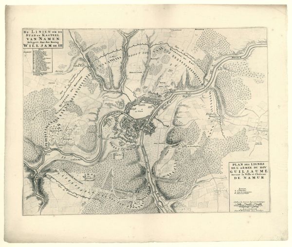
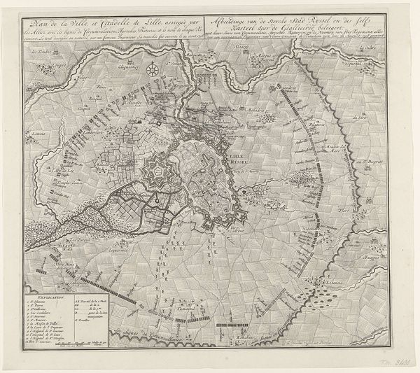
Dimensions: height 390 mm, width 477 mm
Copyright: Rijks Museum: Open Domain
Pieter van Call the Younger created this map of the siege of Ath in 1706 using etching. The map is a fascinating interplay of geometric forms and flowing lines, creating a unique visual experience. The town is contained in a star fortress and its rigidly structured layout contrasts with the organic curves of the surrounding rivers and landscapes. This dichotomy between constructed order and natural form introduces a tension that invites contemplation. The map can be interpreted as a semiotic system, where each line, shape, and symbol conveys specific information about territory and military strategy. Yet, beyond its utilitarian function, the map engages with broader philosophical ideas about power, control, and the imposition of human will upon the natural world. In this way, the formal clarity of the etching underscores the cultural and philosophical significance embedded within its lines.
Comments
No comments
Be the first to comment and join the conversation on the ultimate creative platform.
More like this