graphic-art, print, etching, engraving
#
pen and ink
#
graphic-art
#
dutch-golden-age
# print
#
pen illustration
#
pen sketch
#
etching
#
old engraving style
#
engraving
Dimensions: height 403 mm, width 475 mm
Copyright: Rijks Museum: Open Domain
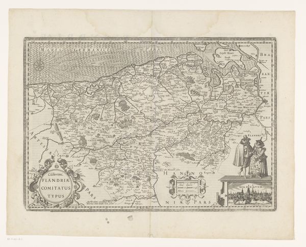
This is a map of the Holy Land by Johannes L. van Luchtenburg. Its monochrome rendering and dense topography immediately suggest a world meticulously documented yet also imbued with symbolic weight. The composition is divided into distinct regions, each rendered with a dedication to detail. The network of lines illustrating the geographical features are not merely descriptive; they assert a structuring principle, a framework through which the sacred geography is organized and understood. Note the contrasting textures that delineate different terrains, from the mountainous regions to the coastal plains, each area rendered with a precision that invites close scrutiny. Consider how the map deploys a semiotic system, using visual elements to construct a narrative about the Holy Land. The map challenges any singular or fixed meaning, it presents a complex layering of religious, historical, and geographical information. The map thus functions as a cultural artifact. It invites us to reflect on how we project our understanding of space and history onto the physical world, and how those projections shape our perceptions of identity and place.
Comments
No comments
Be the first to comment and join the conversation on the ultimate creative platform.
More like this