drawing, print, etching, ink
#
drawing
#
baroque
#
dutch-golden-age
# print
#
etching
#
landscape
#
ink
#
geometric
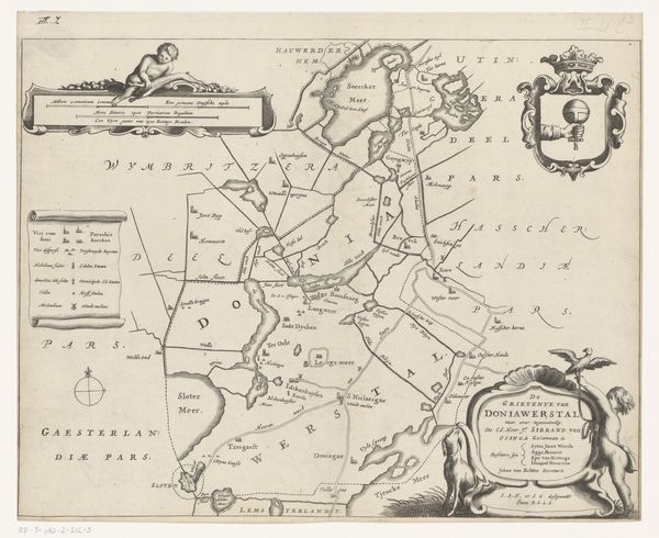
Dimensions: height 286 mm, width 368 mm
Copyright: Rijks Museum: Open Domain
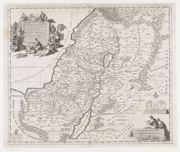
This map of Leeuwarderadeel was made by Jacob van Meurs in the mid-17th century, using engraving. Look closely and you can see the lines that define the fields, waterways, and settlements of this region in the Netherlands. Engraving, a printmaking technique, demands meticulous labor. The artist incises an image onto a metal plate, which is then inked and pressed onto paper. This map would have required careful planning and skilled execution. Its lines aren't just cartographic; they speak to a world of property, agriculture, and social organization. The engraver’s hand translates these abstract systems into tangible form. Consider the amount of work required to produce each print, and its role in facilitating trade, governance, and a sense of place. The map is more than just a guide; it is an artifact deeply embedded in the economic and social life of its time. By appreciating the material and the process behind its making, we gain a richer understanding of its cultural significance.
Comments
No comments
Be the first to comment and join the conversation on the ultimate creative platform.
More like this